Mount Dyultydag
Gora Dyultydag, or simply Dyultydag (Russian: Дюльтыдаг), is a mountain located in Dagestan, Russia.
| Gora Dyultydag | |
|---|---|
| Гора Дюльтыдаг | |
Gora Dyultydag Location of Dyultydag in the Caucasus mountains 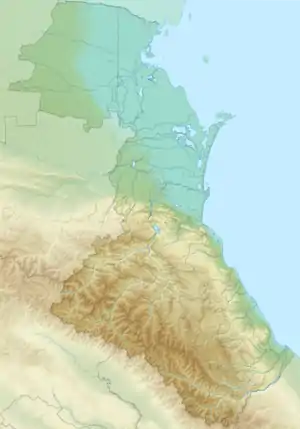 Gora Dyultydag Gora Dyultydag (Republic of Dagestan) | |
| Highest point | |
| Elevation | 4,127 m (13,540 ft) [1] |
| Prominence | 1,834 m (6,017 ft) |
| Listing | Ultra |
| Coordinates | 41°57′34″N 46°55′20″E [2] |
| Geography | |
| Location | Dagestan, Russia |
| Country | |
| Parent range | Caucasus Mountains |
Toponymy
Dyultydag refers to both a mountain range[3] and its higher summit, Gora Dyultydag.[4]
Sometimes the Cyrillic name Дюльтыдаг is transliterated as Dyul'tydag.[5]
Geography
The mountain belongs to the Samur basin. Its peak stands about 15 km (9 mi) north of the border with Azerbaijan. The closest town to Dyultydag is Tsurib[5] (Charodinsky District). In 1961 its summit was reported as perennial snow-capped.[4] At an elevation of 4127 m Gora Dyultydag is Dagestan's fifth-highest mountain and the 45th-highest in Russia.[5]
Mapping
Various maps, some of Soviet military origin, may be found on the internet, usually in Cyrillic.[6]
References
- "Gora Dyultydag, Russia". Peakbagger.com.
- Гора Дюльтыдаг: Russia, web-page on www.geographic.org
- Moscow University Geology Bulletin, Volume 35. Allerton Press. 1980.
- Florinsky, Michael T. Florinsky (1961). McGraw-Hill encyclopedia of Russia and the Soviet Union. McGraw-Hill.
- Gora Dyul'tydag, peakery.com
- Maps of the area on maps.vlasenko.net
See also
- List of European ultra prominent peaks
This article is issued from Wikipedia. The text is licensed under Creative Commons - Attribution - Sharealike. Additional terms may apply for the media files.