Sari-Solenzara
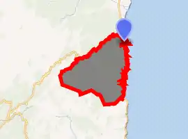
Sari-Solenzara (Corsican: Sari è Sulinzara; formerly in French: Sari-de-Porto-Vecchio, Italian: Sari di Porto Vecchio, Corsican: Sari di Portivechju) is a commune and municipality in the French department of Corse-du-Sud, on the island of Corsica. It is delineated by several natural borders: the Tyrrhenian Sea to its east, the River Solenzara to its north, and to its west the Aiguilles de Bavella, a beautiful mountain at the heart of the island. A rural district, it essentially consists of two settlements: the larger seaside village of Solenzara, and the smaller hilltop village of Sari. Smaller outlying hamlets include Togna, Canella, Tarcu and Favona. Highly mountainous and forested, Sari-Solenzara falls partially within the Alta Rocca district of the Corsican Regional Nature Reserve.
Sari-Solenzara | |
|---|---|
 The church in Sari-Solenzara | |
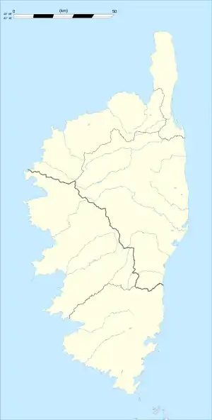
Location of Sari-Solenzara 
| |
 Sari-Solenzara  Sari-Solenzara | |
| Coordinates: 41°50′09″N 9°22′26″E | |
| Country | France |
| Region | Corsica |
| Department | Corse-du-Sud |
| Arrondissement | Sartène |
| Canton | Bavella |
| Intercommunality | Côte des Nacres |
| Government | |
| • Mayor (2020–2026) | Jean Toma |
| Area 1 | 73.85 km2 (28.51 sq mi) |
| Population (2017-01-01)[1] | 1,345 |
| • Density | 18/km2 (47/sq mi) |
| Time zone | UTC+01:00 (CET) |
| • Summer (DST) | UTC+02:00 (CEST) |
| INSEE/Postal code | 2A269 /20145 |
| Elevation | 0–1,087 m (0–3,566 ft) (avg. 300 m or 980 ft) |
| 1 French Land Register data, which excludes lakes, ponds, glaciers > 1 km2 (0.386 sq mi or 247 acres) and river estuaries. | |
Population
|
|
Sports
- Diving
- Canyoning
- Riding
- Fishing harbour and marina
- Via ferrata
Local gastronomy
- Sausage : lonzu, coppa, wild boar sausage, figatelli
- Chestnut paste
- Ewe and goat cheeses
References
- "Populations légales 2017". INSEE. Retrieved 6 January 2020.
| Wikimedia Commons has media related to Sari-Solenzara. |