Ogilville, Indiana
Ogilville is an unincorporated community in Ohio Township, Bartholomew County, in the U.S. state of Indiana.[3] The community is located along State Road 58 close to where it crosses over East Fork White Creek. It is located southwest on SR 58 of North Ogilville.
Ogilville, Indiana | |
|---|---|
 Meyer Grocery in Ogilville | |
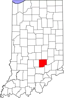
 Bartholomew County's location in Indiana | |
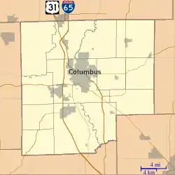
 Ogilville Location in Bartholomew County | |
| Coordinates: 39°07′33″N 86°00′55″W | |
| Country | United States |
| State | Indiana |
| County | Bartholomew |
| Township | Ohio |
| Elevation | 633 ft (193 m) |
| Time zone | UTC-5 (Eastern (EST)) |
| • Summer (DST) | UTC-4 (EDT) |
| ZIP code | 47201 |
| FIPS code | 18-56106[2] |
| GNIS feature ID | 440518 |
History
A post office was established at Ogilville in 1893, and remained in operation until it was discontinued in 1931.[4] It was likely named for the Ogilvie family of settlers.[5] The town was originally named Moore's Vineyard and was first started in 1850 with the opening of a grist and saw mill along with a general store. At the same time in 1850, Burris Moore was the first Postmaster. The original name was changed to Ogilville around 1889.
Geography
Ogilville is located at 39°07′33″N 86°00′55″W.
References
- "US Board on Geographic Names". United States Geological Survey. 2007-10-25. Retrieved 2008-01-31.
- "U.S. Census website". United States Census Bureau. Retrieved 2008-01-31.
- "Ogilville, Indiana". Geographic Names Information System. United States Geological Survey. Retrieved February 22, 2020.
- "Bartholomew County". Jim Forte Postal History. Retrieved 27 August 2014.
- Baker, Ronald L. (October 1995). From Needmore to Prosperity: Hoosier Place Names in Folklore and History. Indiana University Press. p. 250. ISBN 978-0-253-32866-3.
A lot of Ogilvies lived around there...