Nogo, Arkansas
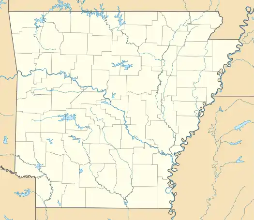
Nogo is a small unincorporated community in Smyrna Township, Pope County, Arkansas, United States.[1] It is part of the Russellville Micropolitan Statistical Area.
Nogo, Arkansas | |
|---|---|
 Nogo, Arkansas  Nogo, Arkansas | |
| Coordinates: 35°38′27″N 92°52′46″W | |
| Country | United States |
| State | Arkansas |
| County | Pope |
| Elevation | 1,726 ft (526 m) |
| Time zone | UTC-6 (Central (CST)) |
| • Summer (DST) | UTC-5 (CDT) |
| Area code(s) | 479 |
| GNIS feature ID | 72874[1] |
Nogo is situated in the Boston Mountains, 11 miles northwest of Kincannon Mountain and 28 miles northeast of Russellville on Arkansas Highway 27 at 35°38′27″N 92°52′46″W, within the Ozark National Forest.
The elevation is 1720 feet above sea level.[2]
Nogo has been noted for its unusual place name.[3]
References
- "Nogo, Arkansas". Geographic Names Information System. United States Geological Survey.
- USGS. Populated Place Data. Retrieved June 20, 2010.
- Thompson, George E. (1 July 2009). You Live Where?: Interesting and Unusual Facts about where We Live. iUniverse. p. 8. ISBN 978-1-4401-3421-0.
Municipalities and communities of Pope County, Arkansas, United States | ||
|---|---|---|
| Cities | 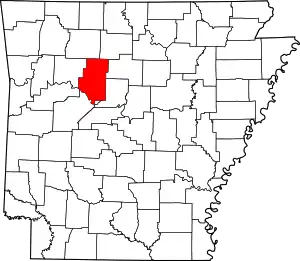 Map of Arkansas highlighting Pope County | |
| Town | ||
| Unincorporated communities |
| |
| Townships | ||
| ||
This article is issued from Wikipedia. The text is licensed under Creative Commons - Attribution - Sharealike. Additional terms may apply for the media files.