List of settlements in Gloucestershire by population
This is a list of settlements in Gloucestershire by population based on the results of the 2011 census. The next United Kingdom census will take place in 2021. In 2011, there were 23 built-up area subdivisions with 5,000 or more inhabitants in Gloucestershire, shown in the table below.

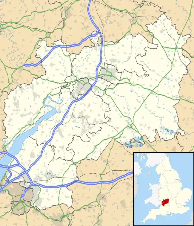
The 24 largest settlements of the county of Gloucestershire, with its city in bold, and district centres in yellow.
Population ranking
| # | Settlement | Borough/District | Population[1][2][3] | |
|---|---|---|---|---|
| 2011 | 2011 | |||
| 1 | Gloucester | Gloucester | 123,590 | 136,362 |
| 2 | Cheltenham | Cheltenham | 110,260 | 116,447 |
| 3 | Kingswood* | South Gloucestershire | 105,706 | 87,190 |
| 4 | Filton | South Gloucestershire | 51,420 | 59,495 |
| 5 | Stroud | Stroud | 31,412 | 32,670 |
| 6 | Yate | South Gloucestershire | 30,463 | 30,022 |
| 7 | Tewkesbury | Tewkesbury | 16,830 | 19,778 |
| 8 | Cirencester | Cotswold | 15,860 | 16,325 |
| 9 | Frampton Cotterell / Winterbourne | South Gloucestershire | 14,100 | 14,694 |
| 10 | Dursley | Stroud | 13,790 | 14,542 |
| 11 | Innsworth | Tewkesbury | 12,998 | 13,458 |
| 12 | Bishop's Cleeve | Tewkesbury | 12,210 | 13,273 |
| 13 | Downend** | South Gloucestershire | 10,409 | 12,125 |
| 14 | Thornbury | South Gloucestershire | 11,969 | 11,687 |
| 15 | Cinderford | Forest of Dean | 10,069 | 10,508 |
| 16 | Lydney | Forest of Dean | 8,960 | 8,776 |
| 17 | Nailsworth | Stroud | 7,190 | 7,728 |
| 18 | Staple Hill** | South Gloucestershire | 6,823 | 7,338 |
| 19 | Stonehouse | Stroud | 7,318 | 7,400 |
| 20 | Chalford | Stroud | 6,628 | 6,876 |
| 21 | Wotton-under-Edge | Stroud | 5,574 | 5,627 |
| 22 | Tetbury | Cotswold | 5,250 | 5,472 |
| 23 | Coleford | Forest of Dean | 5,109 | 5,103 |
| 24 | Winchcombe | Tewkesbury | 4,379 | 4,538 |
Notes:
* This is the parliamentary constituency count. It groups nearly all the urban suburb areas east of Bristol. Borders changed in 2010 which reflected in the 2011 reduction. See talk page for further discussion
** Contiguous with Kingswood. Council ward counts
See also
References
- "Gloucestershire (County, South West England, United Kingdom) - Population Statistics and Location in Maps and Charts". www.citypopulation.de. Retrieved 23 November 2016.
- "South Gloucestershire (Unitary District, South West England, United Kingdom) - Population Statistics and Location in Maps and Charts". www.citypopulation.de. Retrieved 23 November 2016.
- "KS101EW (Usual resident population) - Nomis - Official Labour Market Statistics". www.nomisweb.co.uk. Retrieved 20 November 2016.
External links
This article is issued from Wikipedia. The text is licensed under Creative Commons - Attribution - Sharealike. Additional terms may apply for the media files.