Khatima
Khatima is a town and a municipal board in Udham Singh Nagar district in the Indian state of Uttarakhand.
Khatima | |
|---|---|
city | |
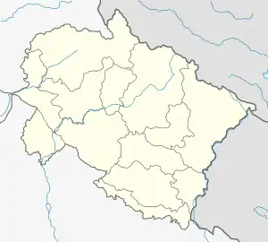
 Khatima Location in Uttarakhand, India  Khatima Khatima (India) | |
| Coordinates: 28.92°N 79.97°E | |
| Country | |
| State | Uttarakhand |
| District | Udham Singh Nagar |
| Area | |
| • Total | 25 km2 (10 sq mi) |
| Population (2011)[1] | |
| • Total | 15,093 |
| • Density | 600/km2 (1,600/sq mi) |
| Languages | |
| • Official | Hindi[2] |
| Time zone | UTC+5:30 (IST) |
| PIN | 262308 |
| Telephone code | 05943 |
| Vehicle registration | UK 06 |
| Website | uk |
Khatima is located at 28.92°N 79.97°E.[3] It has an average elevation of 299 metres (980 feet).
Climate
The climate is similar to that of nearby Pantnagar. Temperatures can climb up as high as the mid-40s Celsius in summer and descend to 4°C during foggy winters.
Demographics
As of 2011 Indian Census, Khatima had a total population of 15,093, of which 8,024 were males and 7,069 were females. Population within the age group of 0 to 6 years was 1,864. The total number of literates in Khatima was 11,003, which constituted 72.9% of the population with male literacy of 77.8% and female literacy of 67.3%. The effective literacy rate of 7+ population of Khatima was 83.2%, of which male literacy rate was 88.8% and female literacy rate was 76.7%. The Scheduled Castes and Scheduled Tribes population was 1,735 and 379 respectively. Khatima had 2912 households in 2011.[1]
The 2001 Indian census recorded the population of Khatima as 14,378, with males constituting 54% of the population and females 46%. The literacy rate was 66%, of which male literacy was 73%, and female literacy 58%. 16% of the population was under 6 years of age.[4]
Transport
Khatima is near the India-Nepal border. It is well connected to other parts of the region by road and rail. The travel time is about 8 hours to Delhi and 4 hours to Nainital Hill station by road. The Khatima railway station is a stop on the Tanakpur - Pilibhit railway line, which is now being upgraded and under reconstruction. The nearest airport is in Pantnagar, about 70 kilometres from Khatima.
Economy
The town is primarily agrarian. About three quarters of the people are engaged in farming, with rice and wheat being major crops in the region. Sugarcane also forms an important part of the economic-political scene here. It also has a small hydro power plant at Lohiahead on the river Sharda with a capacity of 41.4 megawatts. There are also some small scale agro based industries.
References
- "Census of India: Khatima". www.censusindia.gov.in. Retrieved 12 January 2020.
- "52nd Report of the Commissioner for Linguistic Minorities in India" (PDF). nclm.nic.in. Ministry of Minority Affairs. p. 18. Archived from the original (PDF) on 25 May 2017. Retrieved 27 May 2019.
- Falling Rain Genomics, Inc - Khatima
- "Census of India 2001: Data from the 2001 Census, including cities, villages and towns (Provisional)". Census Commission of India. Archived from the original on 16 June 2004. Retrieved 1 November 2008.