Chemquasabamticook Lake
Chemquasabamticook Lake (or Ross Lake) is the source of Chemquasabamticook Stream in the North Maine Woods. The lake is in Maine townships 9 and 10 of range 15, and township 9 of range 14. Tributaries include Sweeney Brook, Boucher Brook, Gannet Brook, Fool Brook, and Ross Inlet. Chemquasabamticook Stream flows 22 miles (35 km) from a disused dam at the north end of the lake to reach Long Lake on the Allagash River.[2] Chemquasabamticook Lake has a self-sustaining native squaretail population, and rainbow smelt have been introduced to encourage more rapid growth of the native togue.[4]
| Chemquasabamticook Lake | |
|---|---|
 Chemquasabamticook Lake  Chemquasabamticook Lake | |
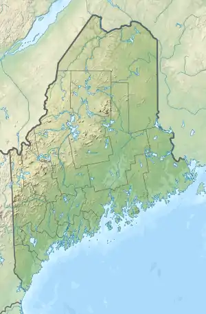
| Location | Piscataquis County, Maine |
| Coordinates | 46°30′N 69°37′W[1] |
| Primary outflows | Chemquasabamticook Stream |
| Basin countries | United States |
| Max. length | 4.8 mi (7.7 km)[2] |
| Max. width | 1.5 mi (2.4 km)[2] |
| Surface area | 2,925 acres (1,184 ha)[3] |
| Max. depth | 105 feet (32 m)[4] |
| Water volume | 99,975 acre⋅ft (123,317,000 m3)[3] |
| Surface elevation | 1,201 ft (366 m)[1] |
Sources
- U.S. Geological Survey Geographic Names Information System: Chemquasabamticook Lake
- The Maine Atlas and Gazetteer (Thirteenth ed.). Freeport, Maine: DeLorme Mapping Company. 1988. pp. 55&61. ISBN 0-89933-035-5.
- Maine Depts. of Environmental Protection and Inland Fisheries & Wildlife (2005-08-04). "Maine Lakes: Morphometry and Geographic Information". Senator George J. Mitchell Center for Environmental and Watershed Research, The University of Maine. Archived from the original on 2006-09-03. Retrieved 31 July 2008.
- "Ross Lake" (PDF). Maine Department of Inland Fisheries and Game. State of Maine. Archived from the original (PDF) on 4 June 2016. Retrieved 9 May 2016.
This article is issued from Wikipedia. The text is licensed under Creative Commons - Attribution - Sharealike. Additional terms may apply for the media files.