Auranga River (Jharkhand)
The Auranga River (localised name: Oranga River) flows through the Latehar and Palamu districts in the Indian state of Jharkhand.[1]
| Auranga River | |
|---|---|
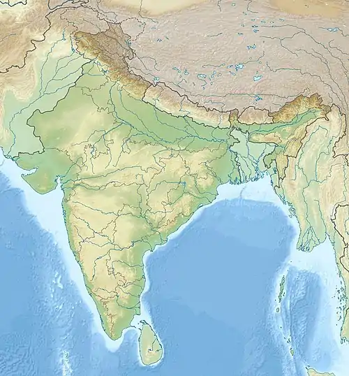
 Location of the river mouth  Auranga River (Jharkhand) (India) | |
| Location | |
| Country | India |
| State | Jharkhand |
| Physical characteristics | |
| Mouth | North Koel River |
• coordinates | 23°56′42″N 84°08′28″E |
| Length | 80 km (50 mi) |
Course
The Auranga originates near Soheda in a pass. It descends from the Ranchi plateau and pursues a winding course in a north-westerly direction for a distance of about 80 kilometres (50 mi), till it flows into the Koel near Kechki 16 kilometres (10 mi) south of Daltonganj.[2]
It passes through a large valley, the southern face of which is formed by the Kumandih hills. Its bed widens rapidly and by the time it reaches the Palamu Fort it has attained a considerable size. Where the ruins of these two forts overlook it, the channel is crowded with huge masses of gneiss. Owing to its rocky bed, navigation is impossible in the rains, and at other times the supply of water is insufficient for even the smallest craft.[2]
Tributaries
Its principal tributaries are the Sukri and Ghaghri.[2]
References
- "Auranga River". india9. Retrieved 29 April 2010.
- "Gazetteer of Palamu District". Archived from the original on 21 July 2011. Retrieved 29 April 2010.