Touat-Cheikh Sidi Mohamed Belkebir Airport
Touat-Cheikh Sidi Mohamed Belkebir Airport (IATA: AZR, ICAO: DAUA) is a public airport located 6 nm (11 km) southeast of Adrar,[1] the capital of the Adrar province (wilaya) in Algeria.
Touat-Cheikh Sidi Mohamed Belkebir Airport | |||||||||||
|---|---|---|---|---|---|---|---|---|---|---|---|
| Summary | |||||||||||
| Airport type | Public | ||||||||||
| Operator | EGSA Alger | ||||||||||
| Serves | Adrar, Algeria | ||||||||||
| Elevation AMSL | 280 m / 919 ft | ||||||||||
| Coordinates | 27°50′20″N 0°11′10″W | ||||||||||
| Map | |||||||||||
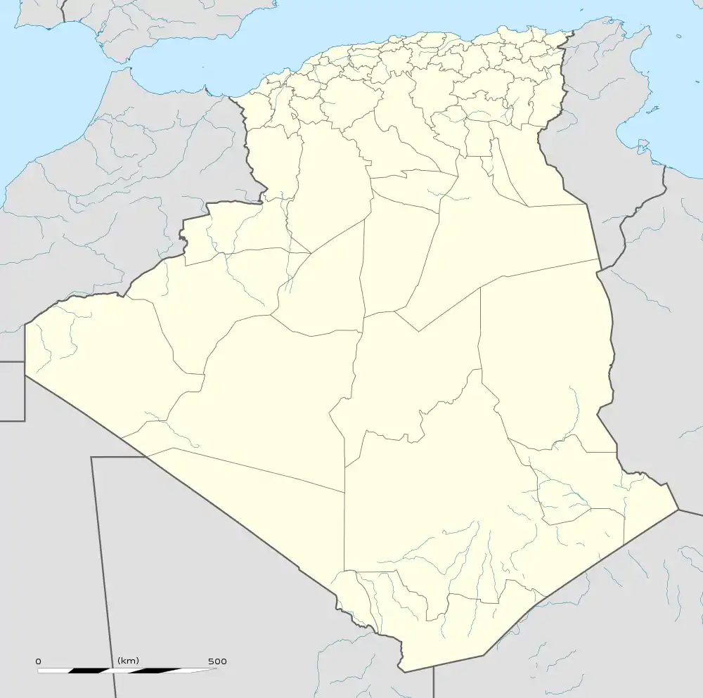
 AZR Location of airport in Algeria | |||||||||||
| Runways | |||||||||||
| |||||||||||
| Statistics (2013) | |||||||||||
| |||||||||||
Facilities
The airport resides at an elevation of 280 metres (919 ft) above mean sea level. It has one runway designated 04/22 with an asphalt surface measuring 3,000 by 45 metres (9,843 ft × 148 ft).[1]
Airlines and destinations
| Airlines | Destinations |
|---|---|
| Air Algérie | Algiers, Bordj Badji Mokhtar, Constantine, In Salah, Oran, Ouargla, Tamanrasset |
| Tassili Airlines | Algiers, Oran |
Statistics
| Pass- engers | Change from previous year | Aircraft opera- tions | Change from previous year | Cargo (metric tons) | Change from previous year | |
|---|---|---|---|---|---|---|
| 2005 | 46,853 | 2,502 | 28 | |||
| 2006 | 40,439 | 2,593 | 44 | |||
| 2007 | 46,817 | 3,582 | 62 | |||
| 2008 | N.A. | N.A. | N.A. | N.A. | N.A. | N.A. |
| 2009 | N.A. | N.A. | N.A. | N.A. | N.A. | N.A. |
| 2010 | 10,483 | N.A. | 328 | N.A. | 14 | N.A. |
| 2011 | 41,418 | 1,102 | 64 | |||
| 2012 | 53,797 | 1,320 | 101 | |||
| 2013 | 92,197 | 2,048 | 70 | |||
| Source: Airports Council International. World Airport Traffic Reports (Years 2005,[5] 2006,[6] 2007,[7] 2009,[8] 2011,[9] 2012,[10] and 2013[11]) | ||||||
References
- AIP and Chart from Service d'Information Aéronautique – Algerie (in French)
- Airport information for DAUA from DAFIF (effective October 2006)
- Airport information for AZR at Great Circle Mapper. Source: DAFIF (effective October 2006).
- Airport record for Touat Cheikh Sidi Mohamed Belkebir Airport at Landings.com. Retrieved 1 August 2013
- Airport Council International's 2005 World Airport Traffic Report
- Airport Council International's 2006 World Airport Traffic Report
- Airport Council International's 2007 World Airport Traffic Report
- Airport Council International Archived 11 August 2016 at the Wayback Machine's 2009 World Airport Traffic Report
- Airport Council International's 2011 World Airport Traffic Report
- Airport Council International's 2012 World Airport Traffic Report
- Airport Council International's 2013 World Airport Traffic Report
External links
- Google Maps - Adrar
- Etablissement de Gestion de Services Aéroportuaires d’Alger (EGSA Alger)
- Current weather for DAUA at NOAA/NWS
- Accident history for AZR at Aviation Safety Network
- Airport record for Touat Cheikh Sidi Mohamed Belkebir Airport at Landings.com.
This article is issued from Wikipedia. The text is licensed under Creative Commons - Attribution - Sharealike. Additional terms may apply for the media files.