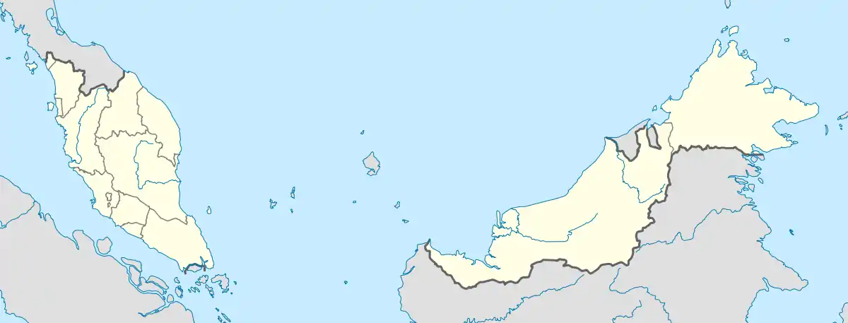
Tampoi, Johor
Tampoi is a suburb in Johor Bahru, Johor, Malaysia. It predominantly consists of light industry factories.[1]
Tampoi | |
|---|---|
 Tampoi Tampoi shown within Johor Bahru. | |
| Coordinates: 1°29′24″N 103°42′20″E | |
| Country | Malaysia |
| State | Johor |
| City | Johor Bahru |
| Government | |
| • Local Authority | Majlis Bandaraya Johor Bahru |
| • Mayor | Haji Burhan Bin Amin |
| Time zone | UTC+8 (MST) |
| Postcode | 81200 |
| Dialling code | +607 |
| Police | Tampoi |
| Fire | Johor Bahru |
Geography
The suburb spans over an area of 9.58 km2 (3.70 sq mi).[2]
Religion
- Tampoi Holy Word Church(丹杯圣道堂)
- Tampoi Guan Di Miao Temple (新山淡杯关帝庙)
- Tampoi Kuan Ti Kong (新山淡杯第一花园关圣坛)
- Tampoi Poh Noi Keng (淡杯宝莲宫)
- Tampoi Tian Hou Gong (淡杯天后宫)
- Tampoi Kuan Yin Temple (茉莉花花园观音亭)
- Sri Subramaniam Temple
- Sri Muniswaran Temple
- Masjid Jamek Ungku Puan Aminah
- Masjid An-nur
- Masjid Jamek Ar-rahman
- Masjid Jamek As-solihin
- Surau An-nur
Shopping

KiP Mart Tampoi
- Angsana Johor Bahru Mall
- KiP Mart Tampoi
- Giant Hypermarket Tampoi
- Pusat Perniagaan Taman Dahlia
- Paradigm Mall
- Sutera Mall
Education
- SJK (C) Tampoi
- SMK Sri Rahmat
- SK Tmn Tampoi Utama
- SK Seri Kenanga
- SK Seri Melati
- SK Bandar Baru Uda 1
- SK Bandar Baru Uda 11
- SMK Bandar Baru Uda
- SMK Dato' Abdul Rahman Yassin
- SK Taman Cempaka
Transportation
The area is accessible by Muafakat Bus route P-203.[3] or Causeway Link (1B, 5B, 51B) from Johor Bahru Sentral railway station.[4]
References
- http://www.mbjb.gov.my/ms/mbjb/pengurusan/profil-ahli-majlis
- http://jpbd.johor.gov.my/images/jpbd_DokumenTerbitan/Handbook.pdf
- "Laluan Bas Muafakat". Bas Muafakat Johor (in Malay). Retrieved 17 March 2018.
- https://www.causewaylink.com.my/view-local.php?route=1B&iframe=true&width=720&height=470
| Wikimedia Commons has media related to Tampoi. |
This article is issued from Wikipedia. The text is licensed under Creative Commons - Attribution - Sharealike. Additional terms may apply for the media files.
