Soshanguve
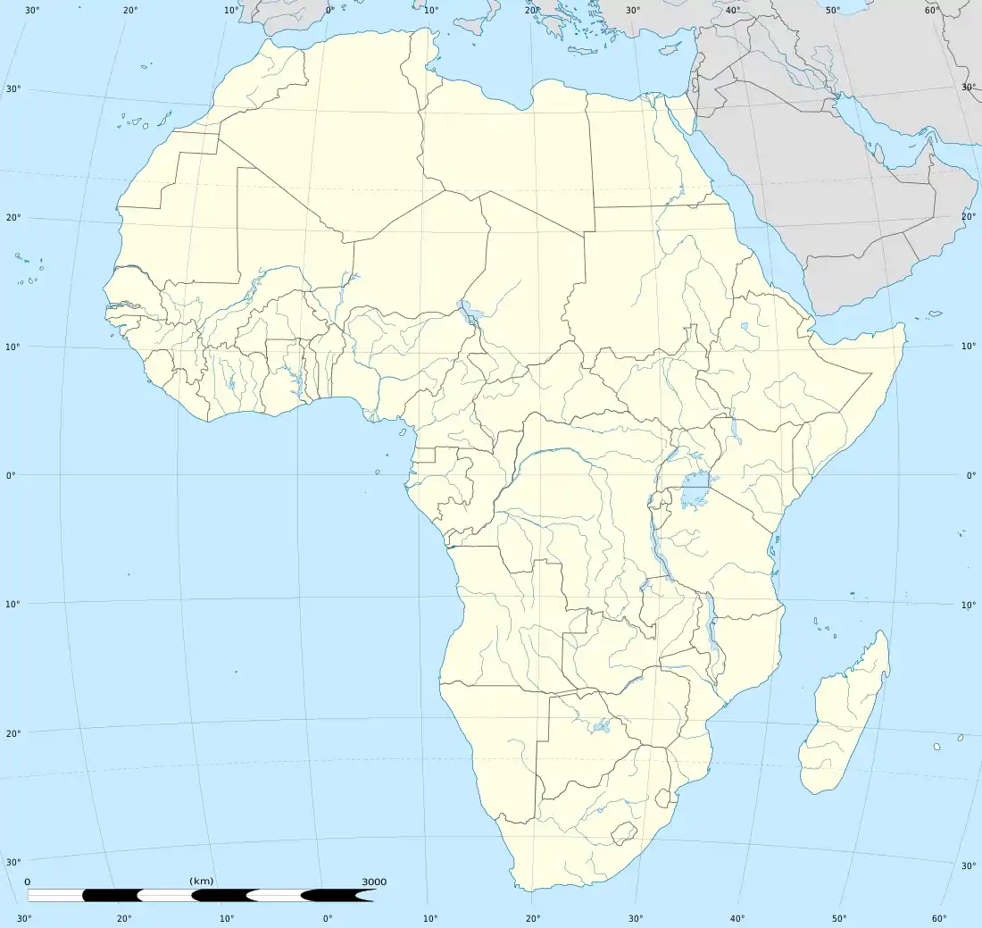
Soshanguve is a township situated about 30 km north of Pretoria, Gauteng, South Africa. The name Soshanguve is an acronym for SOtho, SHAngaan, NGUni and VEnda, thus showing the multi-ethnic composition of the population (Mashabela 1988:138). The major African languages of South Africa are heard in Soshanguve.
Soshanguve | |
|---|---|
 Soshanguve  Soshanguve  Soshanguve | |
| Coordinates: 25°31′25″S 28°6′0″E | |
| Country | South Africa |
| Province | Gauteng |
| Municipality | City of Tshwane |
| Main Place | Pretoria |
| Area | |
| • Total | 126.77 km2 (48.95 sq mi) |
| Population (2011)[1] | |
| • Total | 403,162 |
| • Density | 3,200/km2 (8,200/sq mi) |
| Racial makeup (2011) | |
| • Black African | 99.2% |
| • Coloured | 0.3% |
| • Indian/Asian | 0.1% |
| • White | 0.1% |
| • Other | 0.4% |
| First languages (2011) | |
| • Northern Sotho | 28.2% |
| • Tswana | 16.7% |
| • Tsonga | 15.1% |
| • Zulu | 13.6% |
| • Other | 26.5% |
| Time zone | UTC+2 (SAST) |
| Postal code (street) | 0152 |
| PO box | 0164 |
| Area code | 012 |
The acronym divided the Soshanguve residents according to their tribe when they were resettled from Mamelodi and Atteridgeville in 1974. While this was to make admin easy for the apartheid government, it left a community divided and suspicious of each other. More than 20 years later, there are still remnants of the past but there is integration of cultures. The people of Soshanguve arguably are the most multilingual of South Africans.
Tswaing, meaning Place of Salt in Setswana, is a 2000-hectare heritage site, some 40 km north-west of Central Pretoria, surrounded by settlements inhabited by more than a million people, such as Winterveld, Soshanguve, Mabopane and Eersterus, near Hammanskraal.
Notable People
Places of interest
- Soshanguve is home to the Tshwane University of Technology
- The second fab lab in South Africa is located in Soshanguve Block TT where it is operated by a self-organized group of unemployed youth known as the Bright Youth Council.[2][3]
- Tswaing Crater
- Giant Stadium
- Soshanguve Crossing Mall
- Soshanguve Railway Station
- Tshwane North College
References
- "Main Place Soshanguve". Census 2011.
- South African Fab Labs
- Mandavilli, Apoorva (2006). "Make anything, anywhere". Nature. 442 (7105): 862–864. doi:10.1038/442862a. PMID 16929273.
.svg.png.webp)