Slidrefjord
Slidrefjord (English: Slidre Fjord)[1][2][3] is a lake which lies in the municipalities of Vestre Slidre and Vang in Innlandet county, Norway. The lake is part of the Begna Watershed.
| Slidrefjord | |
|---|---|
 | |
 Slidrefjord 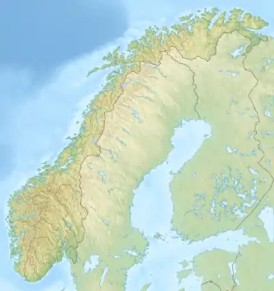 Slidrefjord | |
| Location | Innlandet |
| Coordinates | 61°05′35″N 08°57′48″E |
| Basin countries | Norway |
| Surface area | 11.29 km2 (4.36 sq mi) |
| Shore length1 | 46.34 km (28.79 mi) |
| Surface elevation | 366 m (1,201 ft) |
| 1 Shore length is not a well-defined measure. | |
Slidrefjord has a surface area of 11.29 km² and a shore length of 46.34 km. It is at an elevation of 366 m above sea level.
References
- Smith, Hubert. 1874. Tent Life with English Gipsies in Norway. London: Henry S. King & Co., p. 444.
- Spurkland, Terje. 2005. Norwegian Runes and Runic Inscriptions. Transl. Betsy van der Hoek. Woodbridge, UK: The Boydell Press, p. 42.
- Bakken, Henry Harrison. 1976. The Hills of Home: A Family History. Madison, WI: Mimir Publishers, p. 2.
This article is issued from Wikipedia. The text is licensed under Creative Commons - Attribution - Sharealike. Additional terms may apply for the media files.