Saline, Utah
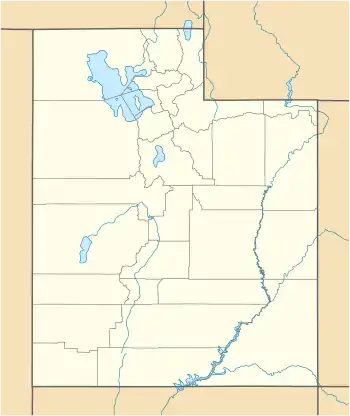
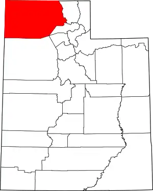
Saline is a ghost town in Box Elder County, Utah, United States,[1] that is located about 1.7 miles (2.7 km) northeast of Promontory Point (cape).
Saline, Utah | |
|---|---|
 Saline Location within the State of Utah  Saline Location within the United States | |
| Coordinates: 41°12′51″N 112°28′22″W | |
| Country | United States |
| State | Utah |
| County | Box Elder |
| Elevation | 4,222 ft (1,287 m) |
| Time zone | UTC-7 (Mountain (MST)) |
| • Summer (DST) | UTC-6 (MDT) |
| GNIS feature ID | 1437675[1] |
Description
The site is where the Lucin Cutoff intersects the west coast of the peninsula formed where the Promontory Mountains project into the northern Great Salt Lake. The cutoff continues east 6.4 miles (10.3 km) to Promontory Point, where it leaves the peninsula.[2]
The community was named for the nearby salt works.[3] While initially an important location along the Lucin Cutoff, as rail service has improved, the town's significance decreased over the century following the construction of the rail line.
References
- U.S. Geological Survey Geographic Names Information System: Saline
- Promontory Point, Utah, 7.5 Minute Quadrangle, USGS, 1991
- Van Cott, John W. (1990). Utah Place Names: A Comprehensive Guide to the Origins of Geographic Names: A Compilation. Salt Lake City: University of Utah Press. p. 326. ISBN 978-0-87480-345-7. OCLC 797284427. Retrieved 12 Jul 2020.
This article is issued from Wikipedia. The text is licensed under Creative Commons - Attribution - Sharealike. Additional terms may apply for the media files.
