Ntungamo–Rukungiri Road
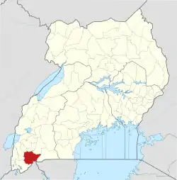
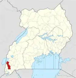
Ntungamo–Rukungiri Road is in the Western Region of Uganda, connecting the towns of Ntungamo in Ntungamo District with Rukungiri in Rukungiri District.
| Ntungamo–Rukungiri Road | |
|---|---|
| Route information | |
| Length | 32 mi (51 km) |
| History | Designated in 2004 Completion in 2005 |
| Major junctions | |
| East end | Ntungamo |
| Kagamba Nyakibale | |
| West end | Rukungiri |
| Highway system | |
| Roads in Uganda | |
Location
The road starts at Ntungamo, on the Mbarara–Ntungamo–Kabale–Katuna Road. It takes a northwesterly direction, though the towns of Kagamba, Rwashamaire,[1] and Nyakibale, to end at Rukungiri, the district headquarters of Rukungiri District, a total of approximately 52 kilometres (32 mi).[2] The coordinates of the road, about equidistant from Kagamba and Rukungiri, are 0°49'57.0"S, 30°02'25.0"E (Latitude:-0.832499; Longitude:30.040267).[3]
Upgrading to bitumen
Prior to 2004, the road was gravel surfaced and in a poor state.[4] In that year, the government of Uganda upgraded the road to grade II bitumen surface with shoulders, drainage channels, and culverts.[5]
References
- Ainembabazi, Betty (29 May 2014). "One Dead, Scores Injured in Ntungamo Road Accident". Kampala: Uganda Radio Network. Retrieved 22 January 2016.
- GFC (22 January 2016). "Distance between Ntungamo, Western Region, Uganda and Rukungiri Court, Rukungiri, Western Region, Uganda". Globefeed.com (GFC). Retrieved 22 January 2016.
- Google (22 January 2016). "Location of Ntungamo–Rukungiri Road At Google Maps" (Map). Google Maps. Google. Retrieved 22 January 2016.
- Vision Reporter (30 January 2001). "Firms Bid For Rukungiri Road". New Vision. Kampala. Retrieved 22 January 2016.
- Alfred Tumushabe, and Perez Rumanzi (13 November 2015). "Uganda: Besigye Condemns Museveni On Roads". Daily Monitor via AllAfrica.com. Kampala. Retrieved 22 January 2016.


