Mbandaka Airport
Mbandaka Airport (French: Aéroport de Mbandaka) (IATA: MDK, ICAO: FZEA) is an airport serving the Congo River port of Mbandaka,[1] capital city of the Équateur District in the Democratic Republic of the Congo. The runway is on the southeast side of the city.
Mbandaka Airport | |||||||||||
|---|---|---|---|---|---|---|---|---|---|---|---|
| Summary | |||||||||||
| Airport type | Public | ||||||||||
| Operator | Government | ||||||||||
| Location | Mbandaka, Democratic Republic of the Congo | ||||||||||
| Elevation AMSL | 1,040 ft / 317 m | ||||||||||
| Coordinates | 00°01′21″N 018°17′19″E | ||||||||||
| Map | |||||||||||
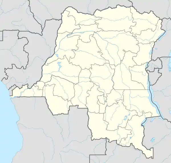
 MDK Location in the Democratic Republic of the Congo | |||||||||||
| Runways | |||||||||||
| |||||||||||
Facilities
The airport resides at an elevation of 1,040 feet (317 m) above mean sea level. It has one runway designated 18/36 with an asphalt surface measuring 2,202 by 45 metres (7,224 ft × 148 ft).[1]
The Mbandaka VOR/DME (Ident: MBA) is located 0.6 nautical miles (1.1 km) off the approach threshold of Runway 18.[4][5]
Airlines and destinations
| Airlines | Destinations |
|---|---|
| Air Kasaï | Gemena, Kinshasa–N'djili[6] |
| Compagnie Africaine d'Aviation | Boende,[7] Kinshasa–N'djili |
| Congo Airways | Kinshasa–N'djili[8] |
See also
 Democratic Republic of the Congo portal
 Aviation portal
- Transport in the Democratic Republic of the Congo
- List of airports in the Democratic Republic of the Congo
References
- Airport information for FZEA from DAFIF (effective October 2006)
- Airport information for Mbandaka Airport at Great Circle Mapper.
- Google Maps - Mbandaka Airport
- "Mbandaka VOR-DME (MBA) @ OurAirports". ourairports.com. Retrieved 2018-08-20.
- "Maps". www.bing.com. Retrieved 2018-08-20.
- Air Kasaï, 2016 timetable, http://www.airkasai.cd/nos-destinations-2/ Archived 2016-09-19 at the Wayback Machine
- Compagnie Africaine d'Aviation timetable (August 2013)
- HORAIRE AVEC 1 Q400 DU 06/06 AU 10/07/2016 (Heures locales), http://www.congoairways.com/wp-content/uploads/2015/11/HORAIRE-1-Q400-2016-V2.0-ok.pdf%5B%5D
External links
- Mbandaka Airport at OpenStreetMap
- Accident history for Mbandaka Airport at Aviation Safety Network
- Aeronautical chart and airport information for Mbandaka Airport at SkyVector
This article is issued from Wikipedia. The text is licensed under Creative Commons - Attribution - Sharealike. Additional terms may apply for the media files.