Inch Island
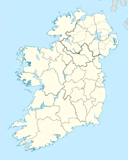
Inch Island (Irish: An Inse, meaning "The Island";[2] Also spelled in Irish as An Inis.[3]) is an island in Lough Swilly, County Donegal, Ireland.
| Native name: An Inse / Inis na nOsirí[1] | |
|---|---|
 Inch Island from Grianan of Aileach | |
 Inch Island | |
| Geography | |
| Location | Lough Swilly |
| Coordinates | 55.065°N 7.495°W |
| Area | 13 km2 (5.0 sq mi) |
| Highest elevation | 222 m (728 ft) |
| Administration | |
| Province | Ulster |
| County | Donegal |
| Demographics | |
| Population | 448 (2011) |
Geography and History
The island is around 5 square miles (13 square kilometres) in area.[4] It lies in Lough Swilly, just off the south-western coast of Inishowen, near the village of Burt. Inch Island is connected to the mainland by a causeway road, known as the Inch Banks. The island's highest hill is at 222 m.[5] Another Irish language name for Inch Island is Inis na nOsirí, meaning 'Island of the Oysters'.[6][7]
Population
|
| ||||||||||||||||||||||||||||||
| Source: John Chambers. "Islands - Change in Population 1841 - 2011". irishislands.info. Retrieved February 19, 2015. | |||||||||||||||||||||||||||||||
The table reports data taken from Discover the Islands of Ireland (Alex Ritsema, Collins Press, 1999) and the Census of Ireland.
Relevant buildings


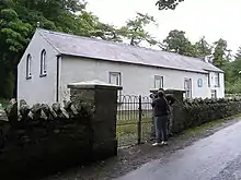
The remains of a portal tomb with a nearby burial chamber, probably constructed using parts of the original tomb, is located near Carnaghan (Irish: Baile Mhic Cearnachain) on the south-western part of the island.[8] A 15th century castle, known as Inch Castle, stands on a cliff overlooking Lough Swilly. The island's Presbyterian kirk (church) is one of the smallest of the surrounding area (just some 14 families are members of it); the island's Catholic church, usually known simply as 'the Chapel', is dedicated to Our Lady of Lourdes and was built in 1932.[4]
Nature
Inch island is a well known birdwatching site with a relevant population of migratory and wintering birds. Bird species on the island include Greenland white fronted goose, whooper swan and greylag goose.[9]
Tourism
Inch Wildfowl Reserve features an 8km looped walk, catering for outdoor recreational activity including walking, running and cycling. The site includes two car parks, seating, viewpoints and a number of bird hides open to the public. This scenic pathway follows around the lake edge and offers panoramic views of the surrounding agricultural landscape and wetlands.[10]
See also
References
- https://www.derryjournal.com/news/people/new-website-offers-virtual-museum-exhibition-inch-island-heritage-2841997
- "An Inse". Placenames Database of Ireland. Dublin City University. Retrieved April 16, 2015.
- Patrick McKay, A Dictionary of Ulster Place-Names, p. 82. The Institute of Irish Studies, The Queen's University of Belfast, Belfast, 1999.
- "Donegal Islands - INCH ISLAND - Population". www.welovedonegal.com. WeLoveDonegal. Retrieved April 16, 2015.
- "Inishowen Area /Inch Top". MountainViews. Ordnance Survey Ireland. Retrieved April 16, 2015.
- https://www.derryjournal.com/news/people/new-website-offers-virtual-museum-exhibition-inch-island-heritage-2841997
- https://www.inchheritage.org
- "'Inch Island' : Portal Tomb". www.megalithomania.com. Failte Ireland. Retrieved April 16, 2015.
- "Inch Island -Donegal". www.discoverireland.ie. Failte Ireland. Archived from the original on April 16, 2015. Retrieved April 16, 2015.
- "Inch Wildfowl Reserve Looped Walk". www.inchwildfowlreserve.ie. Retrieved 2019-01-28.
External links
![]() Media related to Inch Island at Wikimedia Commons
Media related to Inch Island at Wikimedia Commons
