Gunlock, Utah
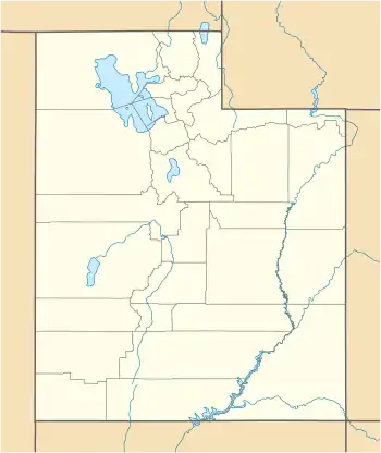
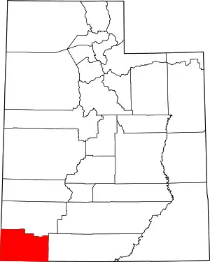
Gunlock is an unincorporated community in western Washington County, Utah, United States,[1] north of Gunlock State Park.
Gunlock, Utah | |
|---|---|
 Gunlock Location of Gunlock within the State of Utah  Gunlock Gunlock (the United States) | |
| Coordinates: 37°17′10″N 113°45′48″W | |
| Country | United States |
| State | Utah |
| County | Washington |
| Settled | 1857 |
| Named for | William "Gunlock" Hamblin |
| Elevation | 3,658 ft (1,115 m) |
| Time zone | UTC-7 (Mountain (MST)) |
| • Summer (DST) | UTC-6 (MDT) |
| ZIP codes | 84733 |
| GNIS feature ID | 1437576[1] |
Description
The community lies on the Santa Clara River, northwest of the Red Mountains along local roads, northwest of the city of St. George, the county seat of Washington County.[2][3] Its elevation is 3,658 feet (1,115 m).[1] Although Gunlock is unincorporated, it has a post office, with the ZIP code of 84733.[4]
History
| Historical population | |||
|---|---|---|---|
| Census | Pop. | %± | |
| 1880 | 156 | — | |
| 1890 | 92 | −41.0% | |
| 1900 | 100 | 8.7% | |
| 1910 | 112 | 12.0% | |
| 1920 | 115 | 2.7% | |
| 1930 | 139 | 20.9% | |
| 1940 | 105 | −24.5% | |
| 1950 | 89 | −15.2% | |
| Source: U.S. Census Bureau[5] | |||
Gunlock was first settled in 1857 by William "Gunlock Will" Hamblin, a pioneer settler and brother of Jacob Hamblin. During a visit to the site later that year George Albert Smith (an LDS Church general authority) named the community in honor of its first settler. In 1862, following severe flooding on the Santa Clara River at the community's former site, the original settlement was moved north to its present location.[6][7][8]
In 1881 an adobe church/schoolhouse was completed; although classes were held in the building prior to its completion. That building was replaced by another church/schoolhouse in 1912. After several renovations over more than a century since its completion, the second building now serves as the Gunlock town hall.[8][9]
Events
Gunlock is the site of the Annual Gunlock Rodeo. The Rodeo is held traditionally on or around the 4th of July. This event has been held in Gunlock annually since 1945 and revenue from the event helps support community facilities.[10][11]
See also
![]() Utah portal
Utah portal
References
- "Gunlock". Geographic Names Information System. United States Geological Survey.
- "MyTopo Maps - Gunlock, UT, USA" (Map). mytopo.com. Trimble Navigation, Ltd. Retrieved 18 Mar 2018.
- Rand McNally. The Road Atlas '08. Chicago: Rand McNally, 2008, p. 102.
- Zip Code Lookup
- "Census of Population and Housing". census.gov. United States Census Bureau. Archived from the original on 8 February 2006. Retrieved 4 Nov 2011.
- The Utah Genealogical and Historical Magazine, Volumes 9-10. 1918. p. 185.
- Van Cott, John W. (1990). Utah Place Names: A Comprehensive Guide to the Origins of Geographic Names: A Compilation. Salt Lake City: University of Utah Press. p. 170. ISBN 978-0-87480-345-7. OCLC 797284427.
- "Gunlock, Utah". wchsutah.org. Washington County Historical Society. Retrieved 18 Mar 2018.
- "Old Gunlock Church and School (now the Gunlock Town Hall)". wchsutah.org. Washington County Historical Society. Retrieved 18 Mar 2018.
- "Gunlock Rodeo: Gunlock, Utah)". wchsutah.org. Washington County Historical Society. Retrieved 18 Mar 2018.
- Reina, Hollie (27 Jun 2017). "Gunlock set to celebrate 72 years of rodeo". St George News. St. George, Utah: StGeorgeUtah.com LLC. Retrieved 18 Mar 2018.
External links
| Wikimedia Commons has media related to Gunlock, Utah. |
- Gunlock, Utah on the Washington County Historical Society website
