Elbenschwand
Elbenschwand is a village and a former municipality in the district of Lörrach in Baden-Württemberg, Germany. Since 1 January 2009, it is part of the municipality Kleines Wiesental. Elbenschwand is located in the Southern Black Forest Nature Park in the valley of the Little Meadow at an altitude below 1000 meters. Forests occupy 72% of the previous district's district.
Elbenschwand | |
|---|---|
Ortsteil of Kleines Wiesental | |
 Coat of arms | |
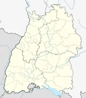
Location of Elbenschwand 
| |
 Elbenschwand  Elbenschwand | |
| Coordinates: 47°44′44″N 07°50′09″E | |
| Country | Germany |
| State | Baden-Württemberg |
| Admin. region | Freiburg |
| District | Lörrach |
| Town | Kleines Wiesental |
| Area | |
| • Total | 6.76 km2 (2.61 sq mi) |
| Elevation | 527 m (1,729 ft) |
| Population (2006-12-31) | |
| • Total | 164 |
| • Density | 24/km2 (63/sq mi) |
| Time zone | UTC+01:00 (CET) |
| • Summer (DST) | UTC+02:00 (CEST) |
| Postal codes | 79692 |
| Dialling codes | 07629 |
| Vehicle registration | LÖ |
In the area of the Elbenschwand district are the villages of Elbenschwand, Holl and Langensee and the small group of houses Buck. Holl and Langensee are located in the valley of the Little Meadow, while Elbenschwand is located on the mountain.
References
This article is issued from Wikipedia. The text is licensed under Creative Commons - Attribution - Sharealike. Additional terms may apply for the media files.