Derwent Bridge
Derwent Bridge is a rural locality in the local government area (LGA) of Central Highlands in the Central LGA region of Tasmania. The locality is about 101 kilometres (63 mi) north-west of the town of Hamilton. The 2016 census has a population of 23 for the state suburb of Derwent Bridge.[1] It is on the Lyell Highway at the southern edge of the Cradle Mountain-Lake St Clair National Park.
| Derwent Bridge Tasmania | |||||||||||||||
|---|---|---|---|---|---|---|---|---|---|---|---|---|---|---|---|
 Derwent Bridge | |||||||||||||||
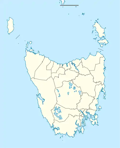
| Coordinates | 42°08′S 146°13′E | ||||||||||||||
| Population | 23 (2016)[1] | ||||||||||||||
| Postcode(s) | 7140 | ||||||||||||||
| Location | 101 km (63 mi) NW of Hamilton | ||||||||||||||
| LGA(s) | Central Highlands | ||||||||||||||
| Region | Central | ||||||||||||||
| State electorate(s) | Lyons | ||||||||||||||
| Federal Division(s) | Lyons | ||||||||||||||
| |||||||||||||||
It is just south of Lake St Clair and the Lake St Clair visitor centre; and it is north of Lake King William and the Butlers Gorge Power Station.
It is also the last inhabited location before Linda Valley in the West Coast Range - this section of the highway passes through the Wild Rivers National Park. In the past there were a couple of isolated houses along Lyell Highway that have been removed.
Today, Derwent Bridge features not only the bridge alluded to in its name – spanning the Derwent River – but accommodation units, and also a roadside public house.
Derwent Bridge was used as a principal filming location for the 2008 film The Last Confession of Alexander Pearce.
History
Derwent Bridge was gazetted as a locality in 1959.[2]
Derwent Bridge Post Office opened on 15 February 1937 and closed in 1980.[3]
Geography
The Derwent River flows through from north to south. The northern end of Lake King William protrudes into the locality.[4]
Road infrastructure
Route A10 (Lyell Highway) passes through from east to south-west. Route C193 (Lake St Clair Road) starts at an intersection with A10 and runs north-west until it exits.[2][5]
References
- "2016 Census Quick Stats Derwent Bridge (Tas.)". quickstats.censusdata.abs.gov.au. Australian Bureau of Statistics. 23 October 2017. Retrieved 13 September 2020.
- "Placenames Tasmania – Derwent Bridge". Placenames Tasmania. Retrieved 13 September 2020.
Select “Search”, enter 469D, click “Search”, select row, map is displayed, click “Details”
- Premier Postal History. "Post Office List". Premier Postal Auctions. Retrieved 16 June 2012.
- Google (13 September 2020). "Derwent Bridge, Tasmania" (Map). Google Maps. Google. Retrieved 13 September 2020.
- "Tasmanian Road Route Codes" (PDF). Department of Primary Industries, Parks, Water & Environment. May 2017. Archived from the original (PDF) on 1 August 2017. Retrieved 13 September 2020.