Camillo, Western Australia
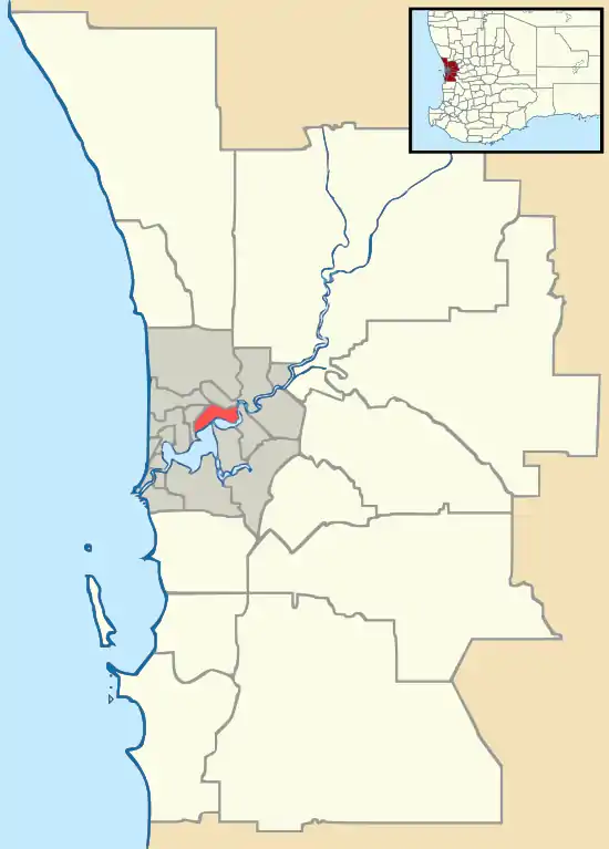
Camillo is a southeastern suburb of Perth, Western Australia. Its local government area is the City of Armadale and it was part of Kelmscott until 1978. It was named after Camillo Cyrus, the child of Gertrude Seeligson, a local property owner in the area in 1901.[2] Until mid-2008,[3] it was named Westfield, named after a siding on the Jandakot railway line.[2]
| Camillo Perth, Western Australia | |||||||||||||||
|---|---|---|---|---|---|---|---|---|---|---|---|---|---|---|---|
 Camillo Location in metropolitan Perth | |||||||||||||||
| Coordinates | 32.115°S 116.002°E | ||||||||||||||
| Population | 4,408 (2016 census)[1] | ||||||||||||||
| • Density | 1,700/km2 (4,390/sq mi) | ||||||||||||||
| Postcode(s) | 6111 | ||||||||||||||
| Area | 2.6 km2 (1.0 sq mi) | ||||||||||||||
| Location | |||||||||||||||
| LGA(s) | City of Armadale | ||||||||||||||
| State electorate(s) | Armadale | ||||||||||||||
| Federal Division(s) | Burt | ||||||||||||||
| |||||||||||||||
Schools
- Westfield Park Primary School (1970)
- Grovelands Primary School (1980).
- John Wollaston Anglican Community School (1988) - K–12.
References
- Australian Bureau of Statistics (27 June 2017). "Camillo (State Suburb)". 2016 Census QuickStats. Retrieved 22 March 2020.

- Western Australian Land Information Authority. "History of metropolitan suburb names – C". Retrieved 22 March 2020.
- "Camillo approved as new name for Westfield". City of Armadale. 4 June 2008. Archived from the original on 22 February 2014. Retrieved 7 February 2014.
This article is issued from Wikipedia. The text is licensed under Creative Commons - Attribution - Sharealike. Additional terms may apply for the media files.