Benalla Airport
Benalla Airport (IATA: BLN, ICAO: YBLA) is located 1 km east of Benalla, Victoria, Australia. Benalla Airport is the home of the Gliding Club of Victoria.
Benalla Airport | |||||||||||||||||||||||
|---|---|---|---|---|---|---|---|---|---|---|---|---|---|---|---|---|---|---|---|---|---|---|---|
| Summary | |||||||||||||||||||||||
| Airport type | Public | ||||||||||||||||||||||
| Operator | Benalla Rural City Council | ||||||||||||||||||||||
| Location | Benalla, Victoria | ||||||||||||||||||||||
| Elevation AMSL | 569 ft / 173 m | ||||||||||||||||||||||
| Coordinates | 36°33′06″S 146°00′24″E | ||||||||||||||||||||||
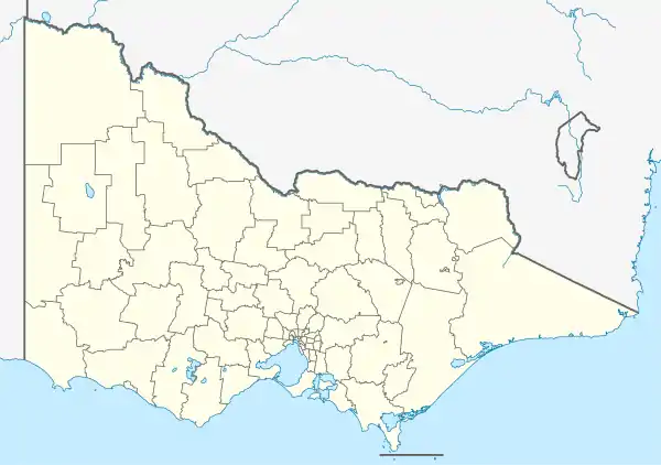
| Map | |||||||||||||||||||||||
 YBLA Location in Victoria | |||||||||||||||||||||||
| Runways | |||||||||||||||||||||||
| |||||||||||||||||||||||
The airport was opened in 1941, as one of the many training bases in southern Australia supporting the commitment of the Royal Australian Air Force (RAAF) to the Empire Air Training Scheme, and the No. 11 Elementary Flying School was based there between 1941 and 1945.[2]
See also
References
- YBLA – Benalla (PDF). AIP En Route Supplement from Airservices Australia, effective 05 Nov 2020, Aeronautical Chart Archived 11 April 2012 at the Wayback Machine
- "Benalla". RAAF Museum Point Cook. Retrieved 6 April 2020.
This article is issued from Wikipedia. The text is licensed under Creative Commons - Attribution - Sharealike. Additional terms may apply for the media files.