Atariya
Atariya is a village in the Hardoi district of the Indian state of Uttar Pradesh. Atariya village is situated 49 km away from district headquarter Hardoi.
Atariya | |
|---|---|
Village | |
 Atariya  Atariya | |
| Coordinates: 27.542911°N 79.741007°E | |
| Country | |
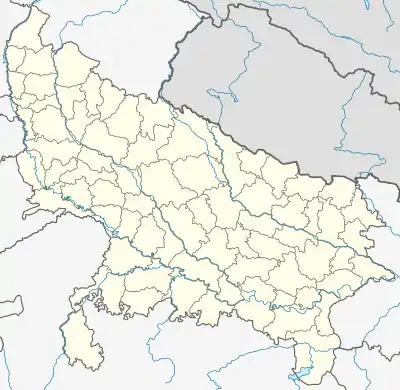
| State | Uttar Pradesh |
| District | Hardoi |
| Talukas | Sawayajpur |
| Area | |
| • Total | 2.5 km2 (1.0 sq mi) |
| Area rank | 5 |
| Elevation | 132 m (433 ft) |
| Population (2011) | |
| • Total | 437 |
| • Rank | 2 |
| • Density | 170/km2 (450/sq mi) |
| Language | |
| • Official | Hindi[1] |
| • Additional official | Urdu[1] |
| Time zone | UTC+5:30 (IST) |
| Area code(s) | 241123 |
| Vehicle registration | UP 30 |
Geography
Atariya is situated to the north of Mahmudpur village.
Demographics
As of 2011 Indian Census, Atariya had a total population of 437, of which 248 were males and 189 were females. Population within the age group of 0 to 6 years was 62. The total number of literates in Atariya was 201, which constituted 46% of the population with male literacy of 54.8% and female literacy of 35.4%. The effective literacy rate of 7+ population of Bahraich was 53.6%, of which male literacy rate was 61.5% and female literacy rate was 42.2%. The sex ratio is 762 females for 1000 males. Atariya had 63 households in 2011.[2]
References
- "52nd Report of the Commissioner for Linguistic Minorities in India" (PDF). nclm.nic.in. Ministry of Minority Affairs. Archived from the original (PDF) on 25 May 2017. Retrieved 22 October 2019.
- "Census of India: Atariya". www.censusindia.gov.in. Retrieved 22 October 2019.
This article is issued from Wikipedia. The text is licensed under Creative Commons - Attribution - Sharealike. Additional terms may apply for the media files.