Þórshöfn Airport
Þórshöfn Airport (Icelandic: Þórshafnarflugvöllur) (IATA: THO, ICAO: BITN) is an airport located in Þórshöfn, a village in northeast Iceland. It is also referred to as Thorshofn Airport in many English-language sources.
Þórshöfn Airport Þórshafnarflugvöllur | |||||||||||
|---|---|---|---|---|---|---|---|---|---|---|---|
| Summary | |||||||||||
| Airport type | Public | ||||||||||
| Operator | ISAVIA | ||||||||||
| Serves | Þórshöfn, Iceland | ||||||||||
| Elevation AMSL | 64 ft / 20 m | ||||||||||
| Coordinates | 66°13′06″N 015°20′08″W | ||||||||||
| Website | https://www.isavia.is/en/thorshofn-airport | ||||||||||
| Map | |||||||||||
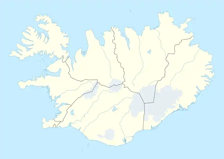
 THO Location of Airport in Iceland | |||||||||||
| Runways | |||||||||||
| |||||||||||
Þórshöfn Airport was previously located about 4.8 km to the northeast, at 66°15′07″N 15°16′23″W, near Sauðanes, and had the ICAO code BITH (but the same IATA code – THO). It had a slightly shorter runway with a gravel surface, which has since been closed.
The airport has a very small terminal building of around 12×9 meters (39×29 ft). Domestic airports don't need security checks in Iceland, and the 19-seat Twin Otter aircraft used don't need large terminals.
Airlines and destinations
| Airlines | Destinations |
|---|---|
| Norlandair | Akureyri, Vopnafjörður |
Accidents and incidents

The wreck of the DC-3 is nowadays used as a sheep and horse shelter on private land
- In July 1969, Douglas R4D-6 Bu 150187 of the United States Navy was damaged beyond economic repair in an accident at Þórshöfn Airport. Pilot Russell W. Sims Jr, Executive Officer of NAS Keflavik, was flying in supplies and mail when cross winds, unimproved runway surface coupled with what the investigative report stated was pilot error was not able to keep control of the plane upon landing, going off the runway surface and destroying the landing gear. Another source states that the aircraft swung off the runway during takeoff.[4]
References
- "AIP Iceland: AD 2 - BITN - ÞÓRSHÖFN / Thorshofn" (PDF).
- Airport information for BITN at World Aero Data. Data current as of October 2006.Source: DAFIF.
- Airport information for THO at Great Circle Mapper.
- Accident description DC-3 Bu 150187, Aviation Safety Network. Retrieved 13 September 2016.
External links
- Accident history for THO at Aviation Safety Network
- Aerial picture of the new Þórshöfn Airport (BITN), viewing south with the town of Þórshöfn in the background 2 nm away
- Aerial picture of the old Þórshöfn Airport (BITH).
This article is issued from Wikipedia. The text is licensed under Creative Commons - Attribution - Sharealike. Additional terms may apply for the media files.