Zvishavane
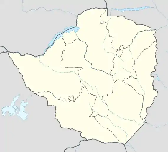
Zvishavane (known until 1982 as Shabani[1]) is a mining town in Midlands Province, Zimbabwe. Surrounded by low hills, it lies 97 kilometres (60 mi) west of Masvingo, on the main Bulawayo-Masvingo road. Other roads lead from Zvishavane to Gweru, 121 kilometres (75 mi) north, and Mberengwa, 27 kilometres (17 mi) south-west. It is also on direct rail links to Gweru and Beit Bridge which then link up with Harare and Bulawayo in Zimbabwe and to Maputo in Mozambique, and Pretoria in South Africa. It has a private airport serving the city.[2]
Zvishavane | |
|---|---|
 Coat of arms | |
 Zvishavane | |
| Coordinates: 20°20′S 30°02′E | |
| Country | |
| Province | Midlands |
| District | Zvishavane |
| Population (2012 census) | |
| • Total | 45,230 |
| Time zone | UTC+2 (CAT) |
| Climate | BSh |
Name
Zvishavane was formerly called Shabanie (used by the mine) or Shabani (used for the town). The name "Shabanie" has been said to be derived from "shavani", a Ndebele word meaning "finger millet", or "trading together".[3]
Zvishavane is a Shona name, which is said to be derived from "zvikomo zvishava", which means "red hills". The name means "reddish or 'reddened' hills", referring to the many surrounding low hills that are characterised by red soil.[3]
History
The town developed as a residential centre for Shabani Mine, which started operations in 1916 to supply asbestos during the First World War. Growth was slow due to poor communications until the railway reached the town in 1928. Although the asbestos mine is the biggest producer of the mineral in Zvishavane, platinum, gold, beryl, chromite, iron ore at Buchwa and huge deposits of diamond at Murowa are also mined in the area.[2]
The surrounding area is dominated by cattle ranching, while peasant agriculture is practiced in the nearby communal lands of Mberengwa and Buchwa.[2]
The administration of Zvishavane has developed over the years to keep pace with its growth. A Village Management Board was set up in 1921 and replaced with a Town Management Board in 1930. It was granted municipal status in 1968.[2]
Population
The population of Zvishavane has grown substantially in recent decades due to a boom in mining activity. According to the 1982 Population Census, the town had a population of 26,758.[2] By 1992 this had risen to 32,984.[4] The population grew further to 35,128 in 2002[5] and 45,325 by 2012.[6]
Major Companies
- Mimosa Mining Company
- Shabanie Mine
- Sabi Gold Mine
- Murowa Diamonds
- Pote Holdings
- Midlands State University
- TK engineering
Transports
The village has a railway station on the Limpopo railway that connects it to Rutenga and Somabhula.[7]
Top Football Teams
Zvishavane is the home to 2 major football clubs which are:
Notable residents
- Alumni of Shabani Primary School include Philip Matyszak, Judith Todd, and George Zambellas.
- Gift Amuli, musician
- Mbizvo Chirasha, poet
- Judy Croome, novelist
- Emmerson Mnangagwa, President of Zimbabwe
- Cephas Msipa, governor of Midlands province
- Lewis Matutu, Member of the ZANU-PF central committee, Deputy Secretary for Youth Affairs, Philanthropist, Entrepreneur.
- Elliot Mujaji, Paralympics gold medalist
- Clement Chimuti, Agrobusiness Entrepreneur of the year and renowned golfer, 2015, 2016, 2017
Musavengana Hove, Journalist
- Tafadzwa Mawarire, Athlete and former African and National motocross champion, Entrepreneur, Mechanical Engineering Technician
- Petros Muponda Samaringa Nyere
- Asani Juma, former Shabanie Mine FC striker
- Tafadzwa Kuhwaura
References
- Historical Dictionary of Zimbabwe. Lanham, MD: Scarecrow Press, Inc. 2001. ISBN 0-8108-3471-5.
- Encyclopedia Zimbabwe (2nd ed.). Worcester: Arlington Business Corporation. 1989. ISBN 0-9514505-0-6.
- "Zvishavane town profile". Sunday News. Zimbabwe. 22 November 2015.
- Africa South of the Sahara 2004. Psychology Press. 2003. p. 1239. ISBN 978-1-85743-183-4.
- "Zimbabwe - Population Census 2002". Central Statistical Office (CSO) – Government of Zimbabwe. p. 22. Retrieved 1 November 2016.
- "Census 2012 – Preliminary Report" (PDF). Zimbabwe National Statistics Agency. p. 97. Retrieved 1 November 2016.
- Network System: System Map. National Railways Of Zimbabwe. 2017.