Wilmot, Tasmania
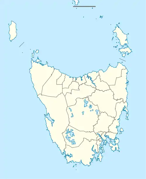
Wilmot is a locality and small rural community in the local government area of Kentish in the North West region of Tasmania. It is located about 39 kilometres (24 mi) south-west of the town of Devonport. The 2016 census determined a population of 298 for the state suburb of Wilmot.[1]
| Wilmot Tasmania | |||||||||||||||
|---|---|---|---|---|---|---|---|---|---|---|---|---|---|---|---|
 Wilmot | |||||||||||||||
| Coordinates | 41°23′06″S 146°09′58″E | ||||||||||||||
| Population | 298 (2016)[1] | ||||||||||||||
| Postcode(s) | 7310 | ||||||||||||||
| Location | 39 km (24 mi) SW of Devonport | ||||||||||||||
| LGA(s) | Kentish | ||||||||||||||
| Region | North West | ||||||||||||||
| State electorate(s) | Lyons | ||||||||||||||
| Federal Division(s) | Lyons | ||||||||||||||
| |||||||||||||||
History
Wilmot was a Parish name prior to 1900 but no town of that name had been surveyed. A Wilmot post station existed in 1899. The town name was proclaimed in 1903, and Wilmot was gazetted as a locality in 1965. The former locality of Narrawa was incorporated into Wilmot in 2000.[2] The locality was named for Sir John Eardley-Wilmot, 1st Baronet, Lieutenant Governor of Van Diemen's Land (now Tasmania) from 1843 to 1846.[3]
Geography
Lake Barrington forms the eastern boundary, and the Wilmot River[note 1] forms almost all of the western boundary.[4]
Road infrastructure
The C132 route (Wilmot Road) passes through the locality from north to south. Route C133 (Back Road) starts at an intersection with C132 and runs north before exiting to the north-west. Route C135 (Buxtons Road / Lake Barrington Road) forms a loop between two intersections with C132, providing access to Lake Barrington.[5]
Notes
- Not to be confused with Wilmot River in New Zealand.
References
- "2016 Census Quick Stats Wilmot (Tas.)". quickstats.censusdata.abs.gov.au. Australian Bureau of Statistics. 23 October 2017. Retrieved 6 April 2020.
- "Placenames Tasmania - Wilmot". Placenames Tasmania. Retrieved 6 April 2020.
Search, enter 1313A, Search, select row, show Details
- CJ Dennison (1994). "Where in Tasmania? L-Z Page 90" (PDF). University of Tasmania. Retrieved 29 March 2020.
- Google (6 April 2020). "Wilmot, Tasmania" (Map). Google Maps. Google. Retrieved 6 April 2020.
- "Tasmanian Road Route Codes" (PDF). Department of Primary Industries, Parks, Water & Environment. May 2017. Archived from the original (PDF) on 1 August 2017. Retrieved 6 April 2020.