Wibtoft
Wibtoft is a small village and civil parish in north-eastern Warwickshire, England. The village was originally within the civil parish of Claybrooke Magna in Leicestershire and is mostly an agricultural community. According to the 2001 Census, it had a population of 50; for the 2011 census, the population has been included in Monks Kirby.
| Wibtoft | |
|---|---|
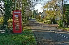
 Green Lane, Wibtoft | |
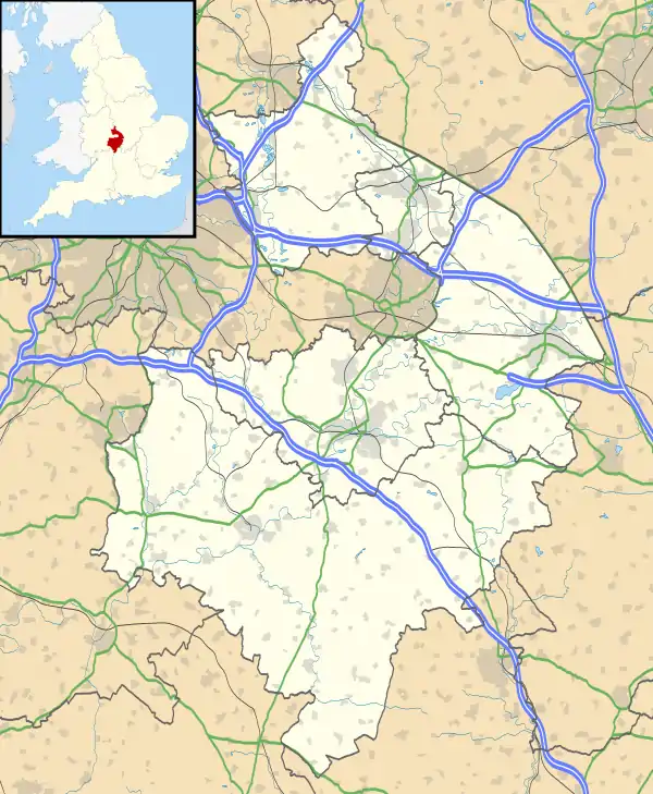
 Wibtoft Location within Warwickshire | |
| Population | 50 (2001) |
| OS grid reference | SP4787 |
| Civil parish |
|
| District | |
| Shire county | |
| Region | |
| Country | England |
| Sovereign state | United Kingdom |
| Post town | LUTTERWORTH |
| Postcode district | LE17 |
| Dialling code | 01455 |
| Police | Warwickshire |
| Fire | Warwickshire |
| Ambulance | West Midlands |
| UK Parliament | |
The village is next to the A5 road (Watling Street), which here defines the border between Warwickshire and Leicestershire. Wibtoft is about 8 miles (13 km) north of Rugby and is in an outlying part of the Borough of Rugby. About half a mile north of Wibtoft is High Cross (Veronae), the point at which the old Roman roads of Watling Street and Fosse Way cross.
Due to its location in a sheltered valley just south of High Cross, and local finds of Roman coins and stonework, some historians have speculated that it sits upon the site of a Roman settlement; William Dugdale believed that it occupied the site of the Roman town of Cleychester.[1][2]
Wibtoft consists of a single narrow road called Green Lane. Due to its small size it has neither shops nor pubs, but does have a small church dedicated to St Mary.[1] The ecclesiastical parish crosses the county boundary and is 'Claybrooke cum Wibtoft'[3] and thus falls in the Diocese of Leicester.
The name of the village has Danish origin, and was mentioned in the Domesday Book as Wibetot.[2]
References
- Geoff, Allen (2000). Warwickshire Towns & Villages. Sigma Press. pp. 152–153. ISBN 1-85058-642-X.
- "Wibtoft". Shakespeare Country. Retrieved 19 November 2018.
- The Church of England