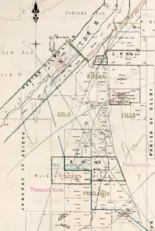
Walton, New South Wales
Walton is a bounded rural locality, and cadastral parish,[2] 100 kilometers south of Nyngan, New South Wales. It is located at 32°10′26″S 146°34′16″E on Gunningbar Creek near the junction with the Bogan River and is in Bogan Shire and Flinders County.[3] The locality is south of the town of Nymagee,[4] and west of Tottenham, New South Wales.[5]

History
The original inhabitants of the area were the Wiradjuri Australian aboriginal tribe, though anthropologist Norman Tindale believed the area around "The Overflow" (opposite bank of the creek) was traditional lands of the neighboring Wangaibon a tribe of the Ngiyambaa peoples.[6] though this may have been due to an error in one of his source materials.
Thomas Mitchell explored the area around the Bogan River in 1835.
References
- The map shows the Overflow Sheep Station and Walton Parish in central NSW at the time that the poem Clancy of the overflow was written.
- H.E.C. Robinson Pty Ltd, Map of New South Wales showing pastoral stations &c (Canberra, 1923).
- The Overflow - NSW at OZexplore.com.
- http://www.yamasa.org/member/declan/nymagee.html
- Delby, NSW.
- Tindale's Aboriginal Tribes of Australia (1974). Wongaibon (NSW) ,