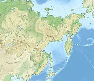
Tolmachev Dol
Tolmachev Dol (Russian: Толмачев Дол) (Tolmachev Plateau) is a volcanic highland located in the southern part of Kamchatka Peninsula, Russia, northeast of Opala volcano. The cones and lava fields cover a broad area around Lake Tolmachev.
| Tolmachev Dol | |
|---|---|
 Tolmachev Dol Tolmachev Dol in Russian Far East | |
| Highest point | |
| Elevation | 1,021 m (3,350 ft) |
| Coordinates | 52.63°N 157.58°E |
| Geography | |
| Location | Kamchatka, Russia |
| Geology | |
| Mountain type | Cinder cones |
| Last eruption | 300 CE ± 150 years |
Tolmachev Dol is a large volcanic field,[1] consisting of cinder cones and lava flows (GVP). It has principally erupted andesite and dacite.[2]
Activity in the volcanic field commenced during the Pleistocene (GVP). The Chasha crater was the site of a large eruption about 4,609 ± 33 years before present, which ejected about 1.1 cubic kilometres (0.26 cu mi) of ash over an area of 15,000 square kilometres (5,800 sq mi). This ash was formerly attributed to the Opala volcano.[3] 300 CE, the last eruption took place (GVP).
See also
Footnotes
- Guilbaud, Marie-Noëlle; Siebe, Claus; Layer, Paul; Salinas, Sergio (1 July 2012). "Reconstruction of the volcanic history of the Tacámbaro-Puruarán area (Michoacán, México) reveals high frequency of Holocene monogenetic eruptions". Bulletin of Volcanology. 74 (5): 1187–1211. doi:10.1007/s00445-012-0594-0. ISSN 0258-8900.
- Guilbaud, Marie-Noëlle; Siebe, Claus; Layer, Paul; Salinas, Sergio (1 July 2012). "Reconstruction of the volcanic history of the Tacámbaro-Puruarán area (Michoacán, México) reveals high frequency of Holocene monogenetic eruptions". Bulletin of Volcanology. 74 (5): 1187–1211. doi:10.1007/s00445-012-0594-0. ISSN 0258-8900.
- Zaretskaya, Natalia E.; Ponomareva, Vera V.; Sulerzhitsky, Leopold D. (NaN). "Radiocarbon Dating of Large Holocene Volcanic Events Within South Kamchatka (Russian Far East)". Radiocarbon. 49 (2): 1065–1078. doi:10.1017/S0033822200042922. ISSN 0033-8222. Check date values in:
|date=(help)