South Darley
South Darley is a hamlet and civil parish in the Derbyshire Dales, to the north of Wensley and to the south of Darley Dale.[1][2]
| South Darley | |
|---|---|
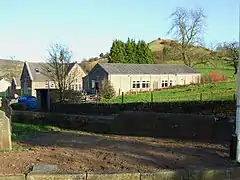 South Darley Village Hall | |
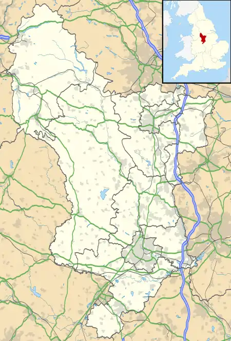 South Darley Location within Derbyshire | |
| Civil parish |
|
| District | |
| Shire county | |
| Region | |
| Country | England |
| Sovereign state | United Kingdom |
| Post town | MATLOCK |
| Dialling code | 01629 |
| Police | Derbyshire |
| Fire | Derbyshire |
| Ambulance | East Midlands |
The hamlet contains a Grade-II listed church.[3]
History
South Darley was an urban district from 1894 until it was abolished and merged form Matlock Urban District in 1934.[4]
References
- "South Darley, Derbyshire Dales District, Derbyshire, England, UK". www.mindat.org. Retrieved 23 December 2020.
- "South Darley". Mapcarta. Retrieved 23 December 2020.
- Stuff, Good. "Church of St Mary, Matlock, Derbyshire". britishlistedbuildings.co.uk. Retrieved 23 December 2020.
- "Relationships and changes South Darley UD through time". A Vision of Britain through Time. Retrieved 23 December 2020.
Derbyshire Portal | |
| Unitary authorities | |
| Boroughs or districts | |
| Major settlements |
|
| Rivers | |
| Topics | |
This article is issued from Wikipedia. The text is licensed under Creative Commons - Attribution - Sharealike. Additional terms may apply for the media files.