Omatako Dam
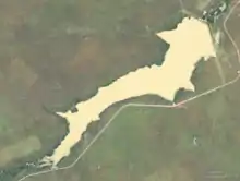
Omatako Dam is an earth-fill embankment dam about 100 kilometres (62 mi) north of Okahandja in the Otjozondjupa Region of Namibia. It is named after the Omatako Mountains, and it dams the ephemeral Omatako River, with Omatako meaning "butt" in Oshiwambo, the name referring to the shape of the Omatako Mountains.[1] The dam has a capacity of 43.49 million cubic metres (56,880,000 cu yd).[2]
| Omatako Dam | |
|---|---|
 | |
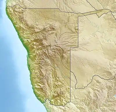
 Location of Omatako Dam in Namibia | |
| Official name | Omatako Dam |
| Country | Namibia |
| Location | 100 km (62 mi) north of Okahandja, Otjozondjupa Region |
| Coordinates | 21°8′53.87″S 17°10′40.57″E |
| Construction began | 1978 |
| Opening date | 1981 |
| Dam and spillways | |
| Type of dam | Earth fill embankment |
| Impounds | Omatako River |
| Height | 16 m (52 ft) |
| Length | 3,460 m (11,350 ft) |
| Width (crest) | 5 m (16 ft) |
| Spillway type | Side chute |
| Spillway capacity | 2,000 cubic metres per second (71,000 cu ft/s) |
| Reservoir | |
| Total capacity | 43.49 million cubic metres (56,880,000 cu yd) |
| Surface area | 11.12 km2 (1,112 ha) |
Completed in 1981, it was originally envisaged to become part of the Eastern National Water Carrier, a scheme to supply water to Namibia's capital Windhoek from the Okavango River, 1,000 kilometres (620 mi) to the north on the Angolan border.[3] The scheme was never completed. Omatako Dam today only contains floods and supplies water to the Von Bach Dam.[2][4] As such, it is one of three dams supplying the capital Windhoek with water.[5]
References
- Omatako Dam at NamWater.com.na
- Menges, Werner; Haidula, Tuyeimo (5 March 2015). "Water worries for Windhoek". The Namibian. p. 1.
- "Eastern National Water Carrier. Omatako Dam – S Van Bach Dam Component" (PDF). NamWater. 4 May 1984. p. 3.
- "The Omatako Dam – Sartorius Von Bach Dam Components of The Eastern National Water Carrier" (PDF). Nam Water. May 1984. Retrieved 6 March 2015.
- Cloete, Luqman (21 February 2017). "NamWater opens Hardap Dam sluices". The Namibian. p. 1.