Novomykolaivka, Zaporizhzhia Oblast
Novomykolaivka (Ukrainian: Новомиколаївка, Russian: Новониколаевка) is an urban-type settlement and the administrative center of Novomykolaivka Raion of Zaporizhzhia Oblast in Ukraine. It is located on the right bank of the Verkhnia Tersa, a tributary of the Vovcha in the drainage basin of the Dnieper. Population: 5,137 (2020 est.)[1]
Novomykolaivka
Новомиколаївка | |
|---|---|
Urban-type settlement | |
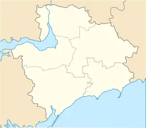
 Novomykolaivka Location in Zaporizhzhia Oblast  Novomykolaivka Location in Ukraine | |
| Coordinates: 47°58′29″N 35°54′25″E | |
| Country | Ukraine |
| Oblast | Zaporizhzhia Oblast |
| Raion | Novomykolaivka Raion |
| Population (2020) | |
| • Total | 5,137[1] |
| Time zone | UTC+2 (EET) |
| • Summer (DST) | UTC+3 (EEST) |
Economy
Transportation
The settlement is on Highway H15 connecting Zaporizhzhia and Marinka and previously going to Donetsk.
The closest railway station is in Vilniansk, on the railway connecting Zaporizhzhia and Synelnykove.
References
- "Чисельність наявного населення України (Actual population of Ukraine)" (PDF) (in Ukrainian). State Statistics Service of Ukraine. Retrieved 30 September 2020.
This article is issued from Wikipedia. The text is licensed under Creative Commons - Attribution - Sharealike. Additional terms may apply for the media files.