Mount Pocaterra
Mount Pocaterra is a rocky formation named after the Pocaterra Creek in the same region. It is located in the Elk Range in Alberta.[2][3] This peak is located on the crest of the ridge, about 1.5 km north of Mount Tyrwhitt. It is not labelled on the 1:50,000 map. On the map, this is a long, thin, ridge-like peak running north–south. and joined to the lower Mount Tyrwhitt. The peak is reportedly a double summit, with the north summit slightly higher. (On the 1:50,000 map there is no contour shown for the double summit).
| Mount Pocaterra | |
|---|---|
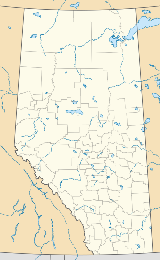 Mount Pocaterra Location in Alberta | |
| Highest point | |
| Elevation | 2,941 m (9,649 ft) [1] |
| Prominence | 461 m (1,512 ft) |
| Coordinates | 50°35′57″N 115°01′45″W |
| Geography | |
| Location | Alberta, Canada |
| Parent range | Elk Range |
| Topo map | NTS 82J/11 |
See also
References
External links
- Mt. Pocaterra photo: Flickr
This article is issued from Wikipedia. The text is licensed under Creative Commons - Attribution - Sharealike. Additional terms may apply for the media files.