Monticello Airport (Utah)
Monticello Airport (IATA: MXC[2][3], FAA LID: U64) is a city-owned, public-use airport located three nautical miles (6 km) north of the central business district of Monticello, a city in San Juan County, Utah, United States.[1] The airport's current site on the east side of U.S. Route 191 opened in 2011, replacing the former Monticello Airport (FAA: U43) which was located on the west side of the highway.
Monticello Airport | |||||||||||
|---|---|---|---|---|---|---|---|---|---|---|---|
| Summary | |||||||||||
| Airport type | Public | ||||||||||
| Owner | City of Monticello | ||||||||||
| Serves | Monticello, Utah | ||||||||||
| Elevation AMSL | 6,966 ft / 2,123 m | ||||||||||
| Coordinates | 37°55′57″N 109°20′28″W | ||||||||||
| Map | |||||||||||
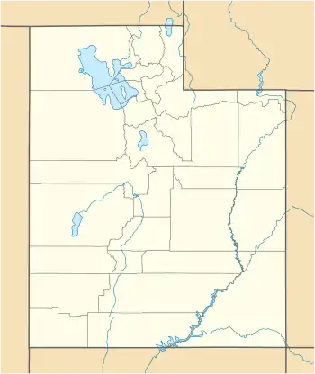
 U64 Location of airport in Utah | |||||||||||
| Runways | |||||||||||
| |||||||||||
| Statistics (2010) | |||||||||||
| |||||||||||
Facilities and aircraft
Monticello Airport covers an area of 264 acres (107 ha) at an elevation of 6,966 feet (2,123 m) above mean sea level. It has one runway designated 16/34 with an asphalt surface measuring 6,000 by 75 feet (1,829 x 23 m).[1]
For the 12-month period ending December 31, 2010, the airport had 2,310 aircraft operations, an average of 192 per month: 98% general aviation and 2% air taxi. At that time there were 10 aircraft based at this airport: nine single-engine and one multi-engine.[1]
Former airport
The former Monticello Airport (FAA LID: U43) was located at coordinates 37°56′14″N 109°20′47″W and covered an area of 75 acres (30 ha) at an elevation of 6,998 feet (2,133 m) above mean sea level. It had one runway designated 16/34 with an asphalt surface measuring 4,817 by 75 feet (1,468 x 23 m).[4][5] According to the FAA's National Plan of Integrated Airport Systems for 2009–2013, it was categorized as a general aviation facility.[6] This airport saw commuter airline service by at least three carriers from the 1970's through the 1990's. Sun Valley Key Commuter, Transwestern Airlines, and Alpine Air all provided direct flights to Moab and Salt Lake City.[7]
References
- FAA Airport Form 5010 for U64 PDF. Federal Aviation Administration. Effective May 2, 2013.
- "Airline and Airport Code Search (MXC: Monticello / San Juan County)". International Air Transport Association (IATA). Retrieved June 2, 2013.
- "Monticello / San Juan County, Utah (IATA: MXC)". Aviation Safety Network. Retrieved June 2, 2013.
- FAA Airport Form 5010 for U43 PDF. Federal Aviation Administration. Effective June 3, 2010.
- "U43 – Monticello Airport". FAA data republished by AirNav. March 16, 2011. Archived from the original on March 16, 2011.
- National Plan of Integrated Airport Systems for 2009–2013: Appendix A: Part 5 (PDF, 1.18 MB) Archived 2011-06-06 at the Wayback Machine. Federal Aviation Administration. Updated October 15, 2008.
- Official Airline Guide
External links
- Airport page at City of Monticello website
- Aerial image of former airport location, as of July 1997 from USGS The National Map
- Resources for this airport:
- FAA airport information for U64
- AirNav airport information for U64
- ASN accident history for MXC
- FlightAware airport information and live flight tracker
- SkyVector aeronautical chart for U64