Miller Heights
The Miller Heights (66°1′S 65°14′W) are a series of elevations extending eastward from Sharp Peak on Velingrad Peninsula, Graham Coast on the west side of Graham Land, Antarctica. The feature was roughly charted by the British Graham Land Expedition under John Rymill, 1934–37, and was named by the UK Antarctic Place-Names Committee for Ronald Miller, a Falkland Islands Dependencies Survey general assistant at Detaille Island in 1956 and leader at Prospect Point in 1957.[1]
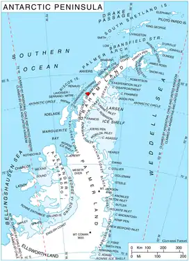
Location of Velingrad Peninsula on Graham Coast, Antarctic Peninsula.
References
- "Miller Heights". Geographic Names Information System. United States Geological Survey. Retrieved 2013-10-01.
![]() This article incorporates public domain material from the United States Geological Survey document: "Miller Heights". (content from the Geographic Names Information System)
This article incorporates public domain material from the United States Geological Survey document: "Miller Heights". (content from the Geographic Names Information System)
This article is issued from Wikipedia. The text is licensed under Creative Commons - Attribution - Sharealike. Additional terms may apply for the media files.