Linton, North Yorkshire
Linton is a village and civil parish in the Craven district of North Yorkshire, England. The population as of the 2011 census was 176.[1] It is to the immediate south, and across the River Wharfe, from Grassington, near Threshfield and eight miles north of the market town Skipton. The green of this small village is set among an old Vanbrugh almshouse, a pub and three stone bridges over its beck. Not far to its north-east, Linton Beck runs down to the River Wharfe at the limestone Linton Falls, there bridged for walkers on a path up the Wharfe's north bank to Grassington.
| Linton | |
|---|---|
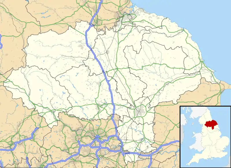
 Linton Location within North Yorkshire | |
| Population | 176 (2011 census)[1] |
| OS grid reference | SD997627 |
| Civil parish |
|
| District | |
| Shire county | |
| Region | |
| Country | England |
| Sovereign state | United Kingdom |
| Post town | SKIPTON |
| Postcode district | BD23 |
| Police | North Yorkshire |
| Fire | North Yorkshire |
| Ambulance | Yorkshire |
Amidst the group of cottages close by the Falls is a 14th century, packhorse bridge, 'Little Emily's Bridge', a few minutes' walk from the church of Saint Michael and All Saints. Dating from the 12th century, Linton Church (as it is usually called) spreads an apron of churchyard, decorated with buttercups and gravestones, upon a small river plain bounded by a bend to its east of the Wharfe, as it flows from the Falls toward Burnsall, along the Dales Way. Except at high water, the river is crossed near the churchyard by an ancient course of stepping-stones, below an old (now renovated) mill house.[2]

History
Linton was historically a parish in Staincliffe Wapentake in the West Riding of Yorkshire.[3] The ancient parish included the townships of Grassington, Hebden and Threshfield, all of which became separate civil parishes in 1866.[4] Linton was transferred to North Yorkshire in 1974.
Linton Falls
Linton Falls was first built in 1909 but later abandoned in 1948. In 2012 it was restored by the construction of a hydroelectric plant.[5]
Gallery
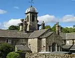
 Fountaine almshouses, back view, summer 2008
 Two stone arch bridges in the village green
 17th century structure, across Linton Falls footbridge
 Upper falls, summer spate
 Lower falls, summer spate
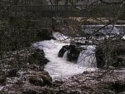
 Winter view of Linton Falls from north bank
 Little Emily's Bridge
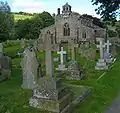
 Linton Church of St Michael and All Saints
 Sample story gravestone, Linton Churchyard
 SE view of churchyard beside river and old mill site
 Stepping-stones course, low water, from east
 Dalesway walker's view of stepping-stones across Wharfe, toward Linton Church
References
- UK Census (2011). "Local Area Report – Linton Parish (1170216768)". Nomis. Office for National Statistics. Retrieved 9 April 2018.
- "Yorkshire Walks – Linton Falls". Dalesman. Retrieved 31 October 2008.
- Genuki website
- Vision of Britain website
- "Linton Falls hydroelectric plant supplies electricity again". BBC News. 22 March 2012. Retrieved 5 July 2017.
External links
![]() Media related to Linton, North Yorkshire at Wikimedia Commons
Media related to Linton, North Yorkshire at Wikimedia Commons
