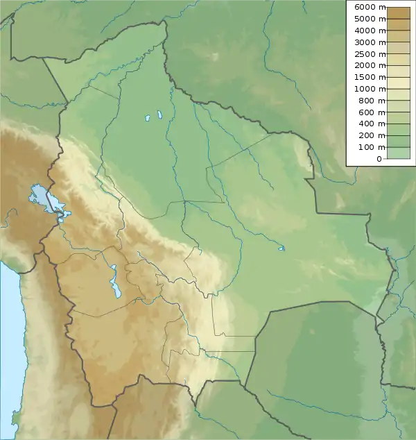
Kirusillas Formation
The Kirusillas Formation is a Homerian geologic formation of central Bolivia. The formation comprises black shales, overlies the Llallagua Formation and is overlain by the Pampa and Guayabillas Formations. The Kirusillas Formation is laterally equivalent to the Lipeón Formation.[1][2][3] The formation is a potential source rock for shale oil and shale gas.[4]
| Kirusillas Formation Stratigraphic range: Homerian ~426–423 Ma | |
|---|---|
| Type | Geological formation |
| Underlies | Pampa & Guayabillas Formations |
| Overlies | Llallagua Formation |
| Lithology | |
| Primary | Black shale |
| Location | |
| Coordinates | 17.8°S 64.8°W |
| Approximate paleocoordinates | 52.8°S 121.7°W |
| Region | Cochabamba & Potosí Departments |
| Country | |
| Extent | Cordillera Central & Oriental |
| Type section | |
| Named for | Kirusillas |
 Kirusillas Formation (Bolivia) | |
Fossil content
The formation has provided the following fossils:
- Ornatosinuitina reyesi
- Slimonia boliviana[5]
- Styliolina sp.
- Lingulata indet.
References
- Veizaga Saavedra et al., 2014, p.96
- Pojo at Fossilworks.org
- Hacienda de Tapacari, 10 km from Huari, 120 km S of Oruro at Fossilworks.org
- Veizaga Saavedra et al., 2014, p.99
- Kjellesvig-Waering, 1973
Bibliography
- Kjellesvig-Waering, Erik N. 1973. A new Silurian Slimonia (Eurypterida) from Bolivia. Journal of Paleontology 47. 549–550.
- Veizaga Saavedra, Juan G.; Daniel G. Poiré; Gustavo D. Vergani, and José A. Salfity. 2014. Formación Los Monos (Devónico), Cuenca de Tarija: Aproximación Geoquímica y Mineralógica del potencial como Shale Gas y Shale Oil, 93–115. IX Congreso de Exploración y Desarrollo de Hidrocarburos. Accessed 2019-03-03.
Further reading
- C. J. Fischer. 1969. Deux bellerophontacées nouveaux de Bolive. Bulletin de Societé géologique, France 7:605-608
- Plotnick, R. E. 1999. Habitat of Llandoverian-Lochkovian eurypterids, 106–136. in A. J. Boucot, J. D. Lawson (eds.), Paleocommunities - a case study from the Silurian and Lower Devonian.
This article is issued from Wikipedia. The text is licensed under Creative Commons - Attribution - Sharealike. Additional terms may apply for the media files.