Kanreapia
Kanreapia is a village in Tombolo Pao district, Gowa Regency in South Sulawesi province, Indonesia. Its population is 4304.[1]:1794
Kanreapia | |
|---|---|
 Kanreapia Location in South Sulawesi and Indonesia 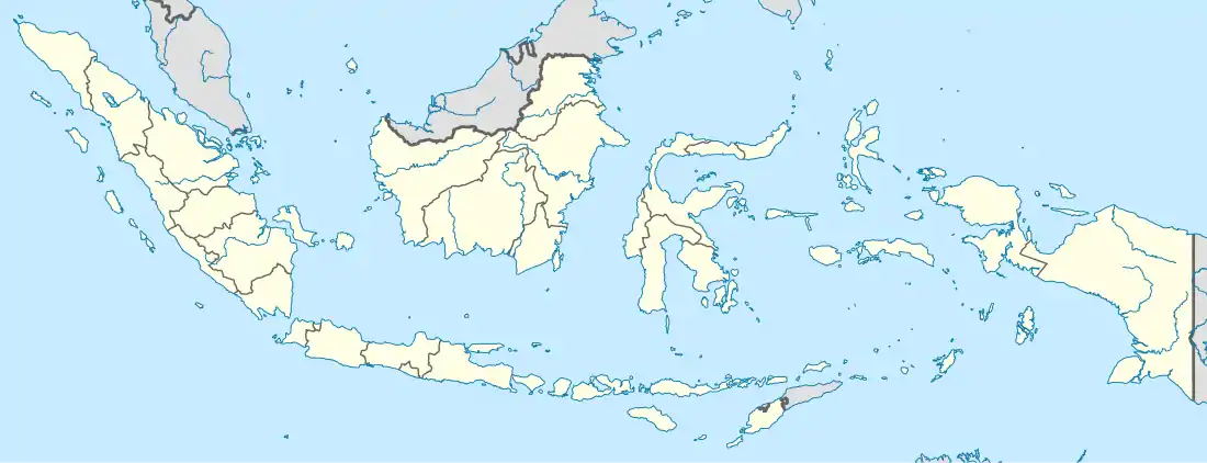 Kanreapia Kanreapia (Indonesia) | |
| Coordinates: 5°16′55.7″S 119°56′16.8″E | |
| Country | |
| Province | South Sulawesi |
| Regency | Gowa Regency |
| District | Tombolo Pao District |
| Elevation | 6,729 ft (2,051 m) |
| Population (2010) | |
| • Total | 4,304[1] |
| Time zone | UTC+8 (Indonesia Central Standard Time) |
Agriculture
The village is known for its production of passion fruits.
Climate
Kanreapia has a subtropical highland climate (Cfb) with moderate rainfall from July to October and heavy to very heavy rainfall from November to June with extremely heavy rainfall in January.
| Climate data for Kanreapia | |||||||||||||
|---|---|---|---|---|---|---|---|---|---|---|---|---|---|
| Month | Jan | Feb | Mar | Apr | May | Jun | Jul | Aug | Sep | Oct | Nov | Dec | Year |
| Average high °C (°F) | 19.7 (67.5) |
19.7 (67.5) |
20.0 (68.0) |
19.9 (67.8) |
19.4 (66.9) |
18.6 (65.5) |
18.4 (65.1) |
19.1 (66.4) |
20.2 (68.4) |
21.2 (70.2) |
20.5 (68.9) |
19.7 (67.5) |
19.7 (67.5) |
| Daily mean °C (°F) | 15.6 (60.1) |
15.5 (59.9) |
15.8 (60.4) |
15.6 (60.1) |
15.4 (59.7) |
14.7 (58.5) |
14.2 (57.6) |
14.4 (57.9) |
15.1 (59.2) |
16.0 (60.8) |
16.0 (60.8) |
15.6 (60.1) |
15.3 (59.6) |
| Average low °C (°F) | 11.5 (52.7) |
11.4 (52.5) |
11.6 (52.9) |
11.4 (52.5) |
11.5 (52.7) |
10.9 (51.6) |
10.1 (50.2) |
9.8 (49.6) |
10.1 (50.2) |
10.8 (51.4) |
11.5 (52.7) |
11.5 (52.7) |
11.0 (51.8) |
| Average rainfall mm (inches) | 727 (28.6) |
630 (24.8) |
511 (20.1) |
358 (14.1) |
238 (9.4) |
139 (5.5) |
104 (4.1) |
78 (3.1) |
67 (2.6) |
119 (4.7) |
322 (12.7) |
542 (21.3) |
3,835 (151) |
| Source: Climate-Data.org[2] | |||||||||||||
References
- "Population of Indonesia by Village: Result of 2010 Population Census" (PDF). Statistics Indonesia. Archived from the original (PDF) on 6 April 2013. Retrieved 2020-12-30.
- "Climate: Kanreapia". Climate-Data.org. Retrieved December 29, 2020.
This article is issued from Wikipedia. The text is licensed under Creative Commons - Attribution - Sharealike. Additional terms may apply for the media files.