Inna (Verdal)
Inna is a river that flows through the municipality of Verdal in Trøndelag county, Norway. The river begins in the east at the lake Innsvatnet, located near the border to Sweden, and it runs west to the village of Vuku at the confluence of the rivers Inna and Helgåa, which together become the river Verdalselva. The river Inna runs through the Inndalen valley, through the villages of Sul, Garnes, Holmen, and ends at Vuku.[1]
| Inna | |
|---|---|
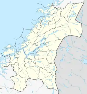
 Location of the river  Inna (Verdal) (Norway) | |
| Location | |
| Country | Norway |
| County | Trøndelag |
| Municipality | Verdal |
| Physical characteristics | |
| Source | Innsvatnet |
| • location | Verdal, Norway |
| • coordinates | 63°39′28″N 12°11′57″E |
| • elevation | 415 metres (1,362 ft) |
| Mouth | Verdalselva |
• location | Vuku, Verdal, Norway |
• coordinates | 63°46′34″N 11°44′21″E |
• elevation | 41 metres (135 ft) |
| Length | 30 km (19 mi) |
| Basin features | |
| Tributaries | |
| • left | Trongdøla, Tverråa |
| • right | Kverna |
See also
This article is issued from Wikipedia. The text is licensed under Creative Commons - Attribution - Sharealike. Additional terms may apply for the media files.