Indura
Indura (Belarusian: Індура; Russian; Индура; Yiddish: אמדור, romanized: Amdur) is a village in the Grodno District of the Grodno Region of Belarus.
Indura
Індура Індура | |
|---|---|
 | |
 Indura Location of Indura | |
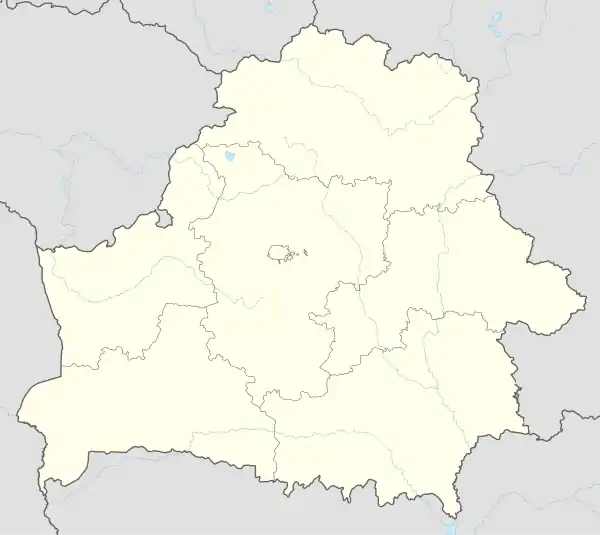
| Coordinates: 53.4597°N 23.8839°E | |
| Country Subdivision | Belarus Grodno Region |
| Founded | 1522 |
| Area | |
| • Total | 1.781 km2 (0.688 sq mi) |
| Elevation | 142 m (466 ft) |
| Population (2009) | |
| • Total | 1,360 |
| • Density | 760/km2 (2,000/sq mi) |
| Time zone | UTC+3 (FET) |
| Postal code | 231712 |
| Area code(s) | +375 |
| License plate | 4 |
The town's name in Yiddish is Amdur, which lends its name to the Amdur Hasidic dynasty founded by Chaim Chaykl of Amdur.[1]
History
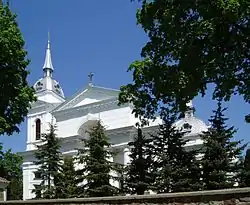
The first mention of Indura appears in the 16th-century when the settlement was under the rule of Jan Dovojnovich, who in 1522 built a wooden church of the Holy Trinity in Indura. Between the 16th and 17th-century Indura was under the rule of Radziwill family, Pac family, and Kiszka family, later being owned by the Oginski family and Massalski family in the 18th century. Following the third partition of the Polish-Lithuanian Commonwealth in 1795, Indura became a part of the Russian Empire in the Grodno district and was under the rule of the Brzhostovsky family. In 1815, a stone church was built in the town and in 1881 the Orthodox church of St. Alexander Nevsky was built, which still stands to this day. In 1885 a synagogue was built which also stands to this day. According to the Riga Peace Treaty of 1921, Indura fell into the interwar Polish Republic. On September 17, 1939, after the Soviet invasion of Poland, Indura became part of the USSR, since 1940 it has been the center of the village council. During the Second World War from June 1941 to July 21, 1944 it was under German occupation. The Jews of the village (about 2000 people) were herded into the ghetto, and in 1942 they were sent to death camps.[1][2][3]
Attractions
- Church of the Holy Trinity, 1815.
- Orthodox Church of St. Alexander Nevsky, 1881.
- Amdur Synagogue, 1885.
- Nble estate, XIX century, the manor house and farm buildings have been preserved.
- Jewish cemetery.
References
- "Indura". vedaj.by. Retrieved 2020-12-26.
- "Geographic coordinates of Indura. Latitude, longitude, and elevation above sea level of Indura, Belarus". dateandtime.info. Retrieved 2020-12-26.
- "INDURA (Amdur): Grodno | Belarus | International Jewish Cemetery Project". IAJGS Cemetery Project. Retrieved 2020-12-26.