Farthinghoe
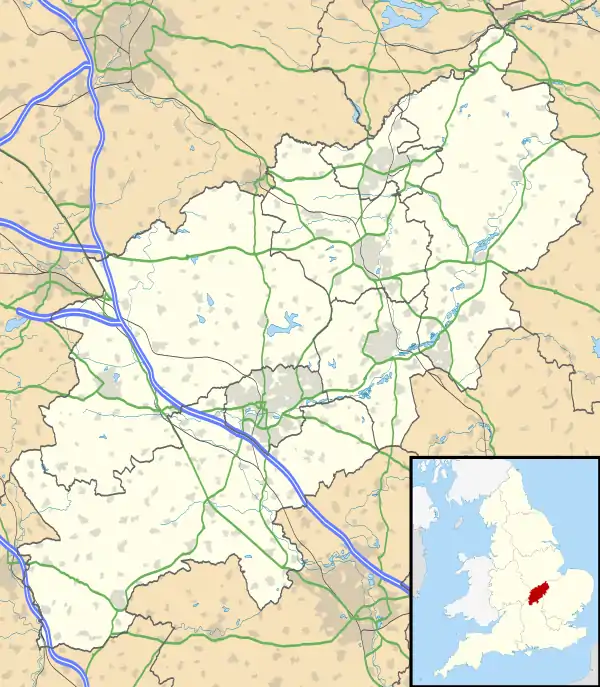
Farthinghoe is a village and civil parish in South Northamptonshire, England. It is located on the A422 road about 3 miles (4.8 km) north-west of Brackley and 5 miles (8.0 km) south-east of Banbury.
| Farthinghoe | |
|---|---|
 Farthinghoe Location within Northamptonshire | |
| Population | 418 [1][2] 413 (2011 census) |
| OS grid reference | SP5339 |
| • London | 71 miles (114 km) |
| District | |
| Shire county | |
| Region | |
| Country | England |
| Sovereign state | United Kingdom |
| Post town | Brackley |
| Postcode district | NN13 |
| Dialling code | 01295 |
| Police | Northamptonshire |
| Fire | Northamptonshire |
| Ambulance | East Midlands |
| UK Parliament | |
At the time of the 2001 census, the parish's population was 418 people,[1] reducing slightly to 413 at the 2011 census.[3]
Buildings
The parish church is dedicated to St Michael and of 13th-century origin. There are monuments to Henrietta and Catherine Rush (d.1801) and George Rush (d.1806).[4] This is by the celebrated London sculptor, Charles Regnart.[5]
Other buildings of note are Abbey Lodge west of the church, believed to be 1581 and Farthinghoe Lodge about 1 mile south west.[4]
Most of the village is a conservation area.[6]
Farthinghoe railway station closed completely in 1963.
Facilities
The village primary school is Farthinghoe County Primary School.
There is a pub The Fox in Baker Street.
Transport
The road through the village (the A422) has two sharp, narrow bends. It was resurfaced in 2015 after being damaged by traffic.
References
- Office for National Statistics: Farthinghoe CP: Parish headcounts. Retrieved 11 December 2009
- SNC. South Northamptonshire Council Year Book 2010-2011. Towcester NN12 7FA. p. 39.CS1 maint: location (link)
- "Civil Parish population 2011". Neighbourhood Statistics. Office for National Statistics. Retrieved 3 July 2016.
- Pevsner, Nikolaus (1961). The Buildings of England – Northamptonshire. Revised by Cherry, Bridget. London and New Haven: Yale University Press. p. 212. ISBN 978-0-300-09632-3.
- Dictionary of British Sculptors 1660-1851, Rupert Gunnis
- Farthinghoe conservation area with map of the village