Dornala
Dornala is a village in Prakasam district of the Indian state of Andhra Pradesh. It is the mandal headquarters of Dornala mandal in Markapur revenue division.[1]:16[3]
Dornala | |
|---|---|
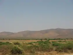 Nallamalla Hills near Dornala | |
.svg.png.webp) Dornala Location in Andhra Pradesh, India 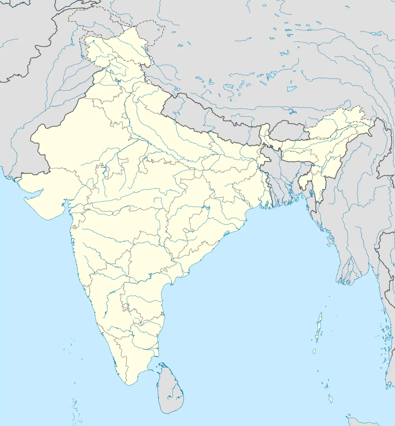 Dornala Dornala (India) | |
| Coordinates: 15.9000°N 79.1000°E | |
| Country | India |
| State | Andhra Pradesh |
| District | Prakasam |
| Mandal | Dornala |
| Area | |
| • Total | 24.50 km2 (9.46 sq mi) |
| Elevation | 208 m (682 ft) |
| Population (2011)[2] | |
| • Total | 11,993 |
| • Density | 490/km2 (1,300/sq mi) |
| Languages | |
| • Official | Telugu, Hindhi |
| Time zone | UTC+5:30 (IST) |
| Vehicle registration | AP |
Geography
Doranala is located at 15.9000°N 79.1000°E and is surrounded by Nallamala Forest.[4][5]
Transport
The National Highway 765 passes through the village, which connects Hyderabad and Tokapalle road of Andhra Pradesh.[6]
References
- "District Census Handbook – Prakasam" (PDF). Census of India. Directorate of Census Operations, Andhra Pradesh. p. 156. Retrieved 27 April 2019.
- "Population statistics". Census of India. The Registrar General & Census Commissioner, India. Retrieved 27 April 2019.
- "Part III, District and Sub-District (Mandals)" (PDF). Census of India. The Registrar General & Census Commissioner, India. pp. 118, 171. Retrieved 27 April 2019.
- "Maps, Weather, and Airports for Doranala, India". fallingrain.com.
- India, The Hans (21 April 2017). "Wild animals losing lives while searching for water, food". www.thehansindia.com. Retrieved 27 April 2019.
- "List of National Highways passing through A.P. State". Roads and Buildings Department. Government of Andhra Pradesh. Archived from the original on 28 March 2016. Retrieved 11 February 2016.
| Wikimedia Commons has media related to Dornala. |
This article is issued from Wikipedia. The text is licensed under Creative Commons - Attribution - Sharealike. Additional terms may apply for the media files.