Devalthal
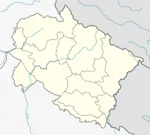
Devalthal is a tehsil of Pithoragarh District in Uttarakhand state,[1] in northern India. It has an estimated population of 12,000,[2] and has a treasury, bank, post office, government, private school, rest house.
Devalthal | |
|---|---|
Town | |
 Devalthal Location in Uttarakhand, India 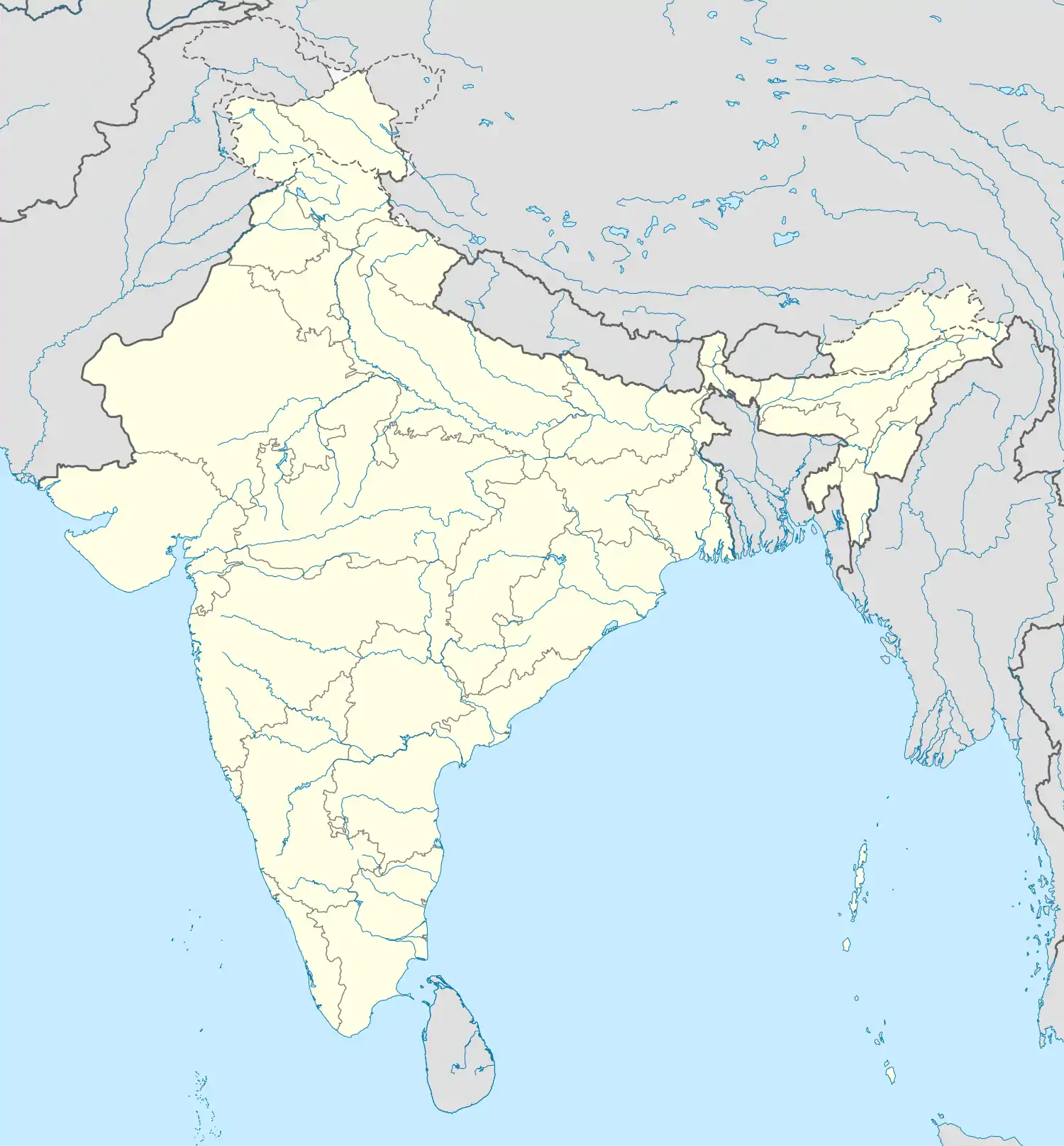 Devalthal Devalthal (India) | |
| Coordinates: 29.7°N 80.2167°E | |
| Country | |
| State | Uttarakhand |
| District | Pithoragarh |
| Named for | land of God's |
| Area | |
| • Total | 31 km2 (12 sq mi) |
| Population | |
| • Total | 10,000 |
| • Density | 320/km2 (840/sq mi) |
| Languages | |
| • Official | Hindi |
| Time zone | UTC+5:30 (IST) |
| PIN | 262542 |
| Telephone code | 05964 |
| Vehicle registration | UK-05 |
| Website | uk |
The name Devalthal is derived from two words, Dew and sthal, which means Land of the Gods. It is situated on Pithoragarh-Thal state Highway. Devalthal is situated in a large valley, temples of many Folk & Hindu god & goddesses are situated here, like Lori Mallikarjun, Dektya Bhagwati, Nandanevi in Hardyo, Dharamghar, Malynath and others. It is the gateway to Eastern Himalayas. Panchchuli is visible from here. Soap stone mines are also found here.
It has developed a lot in last few years with a hospital, a degree college and other basic facilities present there.
References
- District Pithoragarh : Profile
- "कापड़ीगांव नहीं देवलथल बने तहसील मुख्यालय" [Devalthal, not Kaprigaon should be the tehsil headquarter]. Amar Ujala (in Hindi). Retrieved 30 June 2018.