Deighton, York
Deighton is a village and civil parish in the unitary authority of the City of York, North Yorkshire, England.[2][3] The population of the civil parish as of the 2011 census was 291.[1] It lies on the A19 about five miles south of York. According to the 2001 census the parish had a population of 308.
| Deighton | |
|---|---|
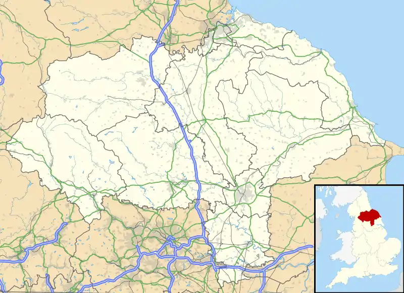
 Deighton Location within North Yorkshire | |
| Population | 291 (2011 census)[1] |
| OS grid reference | SE628441 |
| Civil parish |
|
| Unitary authority | |
| Ceremonial county | |
| Region | |
| Country | England |
| Sovereign state | United Kingdom |
| Post town | YORK |
| Postcode district | YO19 |
| Police | North Yorkshire |
| Fire | North Yorkshire |
| Ambulance | Yorkshire |
The village was historically part of the East Riding of Yorkshire until 1974. It was then a part of the Selby District in North Yorkshire from 1974 until 1996. Since 1996 it has been part of the City of York unitary authority.[4]
The parish also includes most of the hamlet of Crockey Hill.

The name Deighton comes from Old English and means farmstead surrounded by a ditch.[5]
Governance
The parish is currently part of Wheldrake Ward in the City of York. As of 2019 it is represented by Cllr Christian Vassie from the local Liberal Democrats.
References
- UK Census (2011). "Local Area Report – Deighton Parish (E04000598)". Nomis. Office for National Statistics. Retrieved 30 November 2019.
- Ordnance Survey: Landranger map sheet 105 York & Selby (Map). Ordnance Survey. 2014. ISBN 9780319229453.
- "Ordnance Survey: 1:50,000 Scale Gazetteer" (csv (download)). www.ordnancesurvey.co.uk. Ordnance Survey. 1 January 2016. Retrieved 18 February 2016.
- "History of Deighton, in York and East Riding | Map and description". www.visionofbritain.org.uk. Retrieved 28 November 2020.
- Mills, A. D. (2011) [first published 1991]. A Dictionary of British Place Names (First edition revised 2011 ed.). Oxford: Oxford University Press. p. 148. ISBN 9780199609086.