Coalway
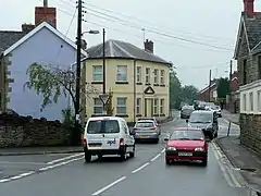
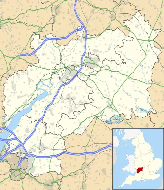
Coalway is a village in the West Forest of Dean region of Gloucestershire, England, approximately one mile south-east of the town of Coleford. The village is just south of the village of Broadwell.
History
An ancient route known in 1345 as the coal way ran north-westwards from the Forest boundary at Coalway Lane End and down Lord's hill to join the main road through Coleford east of Coller brook.[1] Known later as Coller Lane, it was used by travellers from the Purton passage on the River Severn in the later 17th century.[1]
Early building at Coalway was on or near the road between Coleford and Parkend, which was diverted southwards after it was turnpiked in 1796.[2] There was a beerhouse at Coalway by 1841, and this had expanded to three public houses by the late 1870s.[3] The last remaining of these is The Crown Inn.[3] The Primitive Methodists built a chapel called "Pisgah" at Coalway in 1861.[4]
A recreation ground was laid out at Coalway in the later 1930s and a village hall was built on it in 1988.[3] A school opened in 1966 when Coalway Infants School opened; this was followed by Coalway Junior school in 1977.[5]
References
- Coleford, Victoria County History
- Forest of Dean: Settlement, Victoria County History
- Forest of Dean: Social life, Victoria County History
- Forest of Dean: Protestant nonconformity, Victoria County History
- Forest of Dean: Education, Victoria County History

