Clonmoyle Racecourse
Clonmoyle Racecourse was a racecourse in the townland of Clonmoyle West, situated 1.2 km (0.75 mi) north-east of Aghabullogue village and 6.5 km (4.0 mi) north-west of Coachford village.
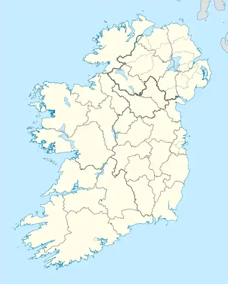
 Shown within island of Ireland | |
| Location | Clonmoyle West, County Cork, Ireland |
|---|---|
| Coordinates | 51°57′12″N 8°47′41″W |
| Type | Racecourse |
| Site notes | |
| Public access | No |
The Ordnance Survey name book c. 1840 refers to Clonmoyle Racecourse as situated on the eastern side of Clonmoyle West townland, '60 chains north-east from Aghabologue Chapel'(1.2 km (0.75 mi)). Measuring approximately one 'English mile' in circumference, it was located in a 'barren mountainous field' on the highest part of the townland, in which races took place 'three or four times' some years, and with no races taking place during other years.
The racecourse is clearly depicted on the 1841 surveyed OS Map.[1] The Cork Placenames Archive refers to related placenames, such as 'Racecourse Crossroads' and 'Racecourse Hill'.[2]
Today, Clonmoyle Racecourse is no longer used, with the land being employed for agricultural purposes. An annual race meeting, the Aghabullogue Point-to-point (steeplechase), takes place each January in the adjoining townland of Dromatimore.
See also
References
- "1841 surveyed OS map (maps.osi.ie)". Archived from the original on 29 August 2012. Retrieved 26 April 2014.
- Lankford, Dr. Éamon (2008). A Collection of Placenames from Cork County: Barony of East Muskerry (Vol. 1). Cork Place Names Archive.