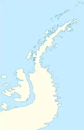
Blaiklock Island
Blaiklock Island is a high and rugged, irregular-shaped island 17 kilometres (9 nmi) long, lying between Bigourdan Fjord and Bourgeois Fjord. It is separated from Pourquoi Pas Island by The Narrows and from the west coast of Graham Land by Jones Channel.[1][2] The feature was partially surveyed in 1936 by the British Graham Land Expedition under Rymill, at which time it was charted as a promontory. It was determined to be an island in 1949 by Kenneth V. Blaiklock, a Falkland Islands Dependencies Survey (FIDS) surveyor for whom it is named.[3]
 Blaiklock Island Location in Antarctica | |
| Geography | |
|---|---|
| Location | Antarctica |
| Coordinates | 67°33′S 67°4′W |
| Administration | |
| Administered under the Antarctic Treaty System | |
| Demographics | |
| Population | Uninhabited |
Named features
Scree Cove is a cove on the southwest side of the island. It was mapped by FIDS from surveys and air photos in 1948–59, and named for the very prominent scree or talus slopes along the southern shore of the cove.
Mount Kershaw sits on the northeast end of the island, above Kosiba Wall and the former Jones Ice Shelf.[4][5]
Blaicklock Island Refuge
Blaicklock Island Refuge (67°32′43″S 67°11′36″W) is a British Antarctic Survey refuge located on the island. The refuge was inaugurated on 6 March 1957 and remained active until 1958; it was utilized as refuge and advanced base for survey and geological research as well as satellite hut for personnel based at Station E, Station W and Station Y.
The refuge, on 19 May 1995, was designated as Historic Site or Monument (HSM 63) under the Antarctic Treaty System as well as Station Y. The site was cleaned up in 1997 and it is managed by United Kingdom Antarctic Heritage Trust since 2014.[6]
See also
- List of Antarctic and sub-Antarctic islands
- List of Antarctic field camps
References
- "The Narrows". Geographic Names Information System. United States Geological Survey. Retrieved 2020-06-30.
- "Jones Channel". Geographic Names Information System. United States Geological Survey. Retrieved 2020-06-30.
- "Blaicklock Island". Geographic Names Information System. United States Geological Survey. Retrieved 2020-06-30.
- "Mount Kershaw". Geographic Names Information System. United States Geological Survey. Retrieved 2020-06-30.
- "Kosiba Wall". Geographic Names Information System. United States Geological Survey. Retrieved 2020-06-30.
- "History of Blaicklock Island". British Antarctic Survey. Retrieved October 3, 2018.
![]() This article incorporates public domain material from websites or documents of the United States Geological Survey.
This article incorporates public domain material from websites or documents of the United States Geological Survey.