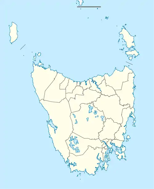
Bishopsbourne, Tasmania
Bishopsbourne is a rural locality in the local government area (LGA) of Northern Midlands in the Central LGA region of Tasmania. The locality is about 19 kilometres (12 mi) south-west of the town of Longford. The 2016 census has a population of 136 for the state suburb of Bishopsbourne.[1] It is a farming community and has a church, graveyard and recreation ground. Nearby towns include Carrick, Bracknell and Longford. Almost all the houses and farms are located on Bishopsbourne Road and there are a few back roads. There has been increased activity of development in recent years, though none of it has been commercial.
| Bishopsbourne Tasmania | |||||||||||||||
|---|---|---|---|---|---|---|---|---|---|---|---|---|---|---|---|
 The Anglican Church of the Holy Nativity, built in 1844 and opened 25 April 1845 | |||||||||||||||
 Bishopsbourne | |||||||||||||||
| Coordinates | 41°37′S 146°59′E | ||||||||||||||
| Population | 136 (2016)[1] | ||||||||||||||
| Established | 1800s | ||||||||||||||
| Postcode(s) | 7301 | ||||||||||||||
| Location |
| ||||||||||||||
| LGA(s) | Northern Midlands | ||||||||||||||
| Region | Central | ||||||||||||||
| State electorate(s) | Lyons | ||||||||||||||
| Federal Division(s) | Lyons | ||||||||||||||
| |||||||||||||||
Bishopsbourne has a Cricket team that has been playing in the local competition for about 70 years
History
Bishopsbourne was gazetted as a locality in 1966.[2]
Bishopsbourne Post Office opened on 31 December 1846 and closed in 1976.[3]
Geography
The Liffey River forms the western boundary.[4]
Road infrastructure
Route C513 (Liffey Road / Bishopsbourne Road) passes through from south to north. Route C518 (an extension of Bishopsbourne Road) starts at an intersection with C513 and runs east until it exits.[2][5]
References
- "2016 Census Quick Stats Bishopsbourne (Tas.)". quickstats.censusdata.abs.gov.au. Australian Bureau of Statistics. 23 October 2017. Retrieved 13 September 2020.
- "Placenames Tasmania – Bishopsbourne". Placenames Tasmania. Retrieved 13 September 2020.
Select “Search”, enter 910F, click “Search”, select row, map is displayed, click “Details”
- Premier Postal History. "Post Office List". Premier Postal Auctions. Retrieved 16 June 2012.
- Google (13 September 2020). "Bishopsbourne, Tasmania" (Map). Google Maps. Google. Retrieved 13 September 2020.
- "Tasmanian Road Route Codes" (PDF). Department of Primary Industries, Parks, Water & Environment. May 2017. Archived from the original (PDF) on 1 August 2017. Retrieved 13 September 2020.