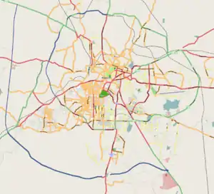
Binnamangala, Bangalore
Binnamangala is one of the early settlements in Bengaluru. It is part of C. V. Raman Nagar Assembly constituency in East Bengaluru. This former village was merged with Bangalore Mahanagara Palike in 1981 census.[2]
Binnamangala | |
|---|---|
neighbourhood | |
 Binnamangala | |
| Coordinates: 12.980806122943287°N 77.63900460325799°E | |
| Country | |
| State | Karnataka |
| Metro | Bengaluru |
| Languages | |
| • Official | Kannada, English |
| Time zone | UTC+5:30 (IST) |
| PIN | 560038[1] |
| Village Name | Area in Hectares (1981) | Urban component | Population (1961) | 1971 | 1981 | 1991 | 2001 | 2011 |
|---|---|---|---|---|---|---|---|---|
| Binnamangala | 168.03 | Full | - | - | BMP | BMP | BMP | BBMP |
Location
References
- "Pincode of Binnamangala, Karnataka is 560038". bankifscpincodenumber.com. Retrieved 8 January 2019.
- "1991 census" (PDF). censusindia.gov.in. Retrieved 8 January 2019.
- "1981 census" (PDF). censusindia.gov.in. Retrieved 8 January 2019.
- "2001 census" (PDF). censusindia.gov.in. Retrieved 8 January 2019.
This article is issued from Wikipedia. The text is licensed under Creative Commons - Attribution - Sharealike. Additional terms may apply for the media files.