Beckwithshaw
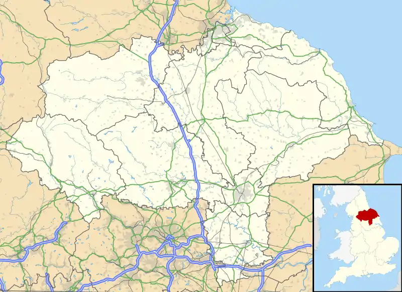
Beckwithshaw is a village and civil parish in the Harrogate district of North Yorkshire, England about 2.5 miles (4 km) south-west of Harrogate.
| Beckwithshaw | |
|---|---|
 Beckwithshaw Church | |
 Beckwithshaw Location within North Yorkshire | |
| Population | 425 (Including Haverah Park 2011 census)[1] |
| OS grid reference | SE267531 |
| Civil parish |
|
| District | |
| Shire county | |
| Region | |
| Country | England |
| Sovereign state | United Kingdom |
| Post town | HARROGATE |
| Postcode district | HG3 |
| Police | North Yorkshire |
| Fire | North Yorkshire |
| Ambulance | Yorkshire |
| UK Parliament | |
History
Beckwithshaw takes its name from the now smaller settlement of Beckwith, 1-mile (1.6 km) to the east. The suffix "shaw", first recorded in 1323, is from the Old English sceaga, meaning a copse.[2]
In 1875, a reservoir was built to the west of the village. Known as Ten Acre Reservoir, it actually only covered 7.7 acres (3.1 ha).[3] In 2016, a report was commissioned into its future as the dam head was known to be failing. In 2019, it will be drained so that it only contains 176,573 cubic feet (5,000 m3) of water to relieve pressure on the dam head and will also be converted into a wildlife area.[4]
Beckwithshaw was historically a hamlet in the ancient parish of Pannal.[5] When the village of Pannal was removed from the civil parish of Pannal in 1937, Beckwithshaw became the largest settlement in the parish. The name of the civil parish was changed from Pannal to Beckwithshaw in 2010.[6] The parish now shares a grouped parish council with Haverah Park.
Amenities
The village has a primary school, a pub (The Smiths Arms) and the Anglican Church of St Michael and All Angels. A board in the church names all the vicars, the first being Charles Farrar Forster, who served from 1887 until his death in August 1894. The church benefice is shared with St Robert's Church, Pannal.[7] A post office was opened in the village in 1887 but closed in October 1978.[8]
Sports
Beckwithshaw Horse Trials, organised by British Eventing, is an annual cross country event held at Beaver Horse Shop on Windmill Farm.
References
- UK Census (2011). "Local Area Report – Beckwithshaw Parish (1170217069)". Nomis. Office for National Statistics. Retrieved 7 December 2018.
- Smith, A.H. (1961). The Place-names of the West Riding of Yorkshire. 5. Cambridge University Press. p. 116.
- "Ten Acre Reservoir, North Yorkshire". britishlakes.info. Retrieved 7 December 2018.
- Beard, Alexander (6 December 2018). "Yorkshire Water's plans for decommissioning Harrogate reservoir". Harrogate Advertiser. Retrieved 7 December 2018.
- "GENUKI: Pannal". genuki.org.uk. Retrieved 16 January 2017.
- "Bulletin of changes to local authority arrangements, areas and names in England: Orders and changes made by the Government and councils between 1 April 2009 and 31 March 2010" (PDF). Department for Communities and Local Government. 16 June 2011. Retrieved 6 June 2014.
- The Church of England: Pannal: other information Retrieved 5 January 2014.
- "Beckwithshaw: The final frontier", Ken Forster, in Stamp Magazine, October 1999, pp. 30–31.
External links
![]() Media related to Beckwithshaw at Wikimedia Commons
Media related to Beckwithshaw at Wikimedia Commons