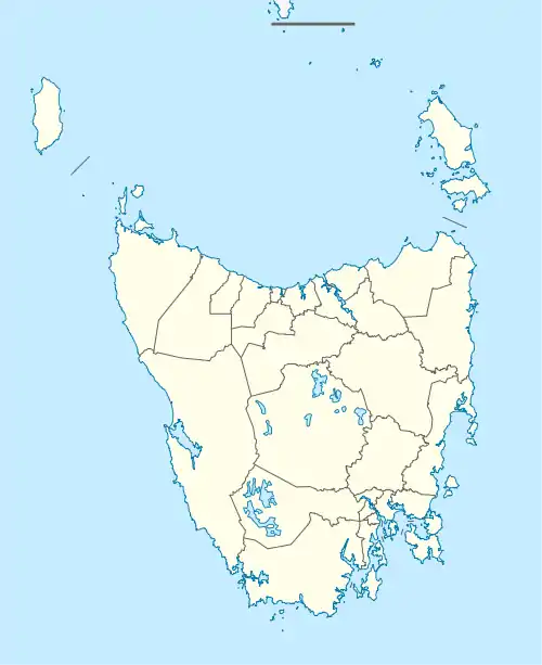
Baden, Tasmania
Baden is a rural locality in the local government area of Southern Midlands in the Central region of Tasmania. It is located about 21 kilometres (13 mi) south-east of the town of Oatlands. The 2016 census determined a population of 36 for the state suburb of Baden.[1]
| Baden Tasmania | |||||||||||||||
|---|---|---|---|---|---|---|---|---|---|---|---|---|---|---|---|
 Baden | |||||||||||||||
| Coordinates | 42°25′20″S 147°28′43″E | ||||||||||||||
| Population | 36 (2016)[1] | ||||||||||||||
| Postcode(s) | 7120 | ||||||||||||||
| Location | 21 km (13 mi) SE of Oatlands | ||||||||||||||
| LGA(s) | Southern Midlands | ||||||||||||||
| Region | Central | ||||||||||||||
| State electorate(s) | Lyons | ||||||||||||||
| Federal Division(s) | Lyons | ||||||||||||||
| |||||||||||||||
History
Baden was gazetted as a locality in 1968. The locality was named for Lord Baden Powell, in honour of three local men who served under him in the Boer War.[2]
Geography
The Coal River forms parts of the southern boundary.[3]
Road infrastructure
The C312 route (Tunnack Road) enters from the north-west and runs through to the south, where it exits. Route C314 (Stonor Road) starts at an intersection with C312 and runs west until it exits. Route C310 (Woodsdale Road) starts at an intersection with C312 and runs north-east until it exits.[2][4]
References
- "2016 Census Quick Stats Baden (Tas.)". quickstats.censusdata.abs.gov.au. Australian Bureau of Statistics. 23 October 2017. Retrieved 5 June 2020.
- "Placenames Tasmania – Baden". Placenames Tasmania. Retrieved 5 June 2020.
Select “Search”, enter 725D, click “Search”, select row, map is displayed, click “Details”
- Google (5 June 2020). "Baden, Tasmania" (Map). Google Maps. Google. Retrieved 5 June 2020.
- "Tasmanian Road Route Codes" (PDF). Department of Primary Industries, Parks, Water & Environment. May 2017. Archived from the original (PDF) on 1 August 2017. Retrieved 18 May 2020.